Updated waterfall trip planner
How to choose a waterfall near Eugene
Plan before you drive
- Winter and spring usually produce stronger flow, but snow can limit Cascade access well after lower-elevation trails are clear.
- Distances below are round trip. A short trail can still be slick, uneven, or exposed beside fast water.
- Use the linked official source on each waterfall page for current road, fire, snow, permit, and closure information.
Cottage Grove and Layng Creek
Spirit Falls
Moon Falls
Pinard Falls
McKenzie River classics
Sahalie Falls
Koosah Falls
Tamolitch Blue Pool Cascades
Highway 58 waterfall day
Salt Creek Falls
Diamond Creek Falls
Trestle Creek Falls
Coast Range alternative
Sweet Creek Falls
Kentucky Falls
The original That Oregon Life field guide
Eugene is the starting point for several very different waterfall corridors: the McKenzie River, Highway 58, the Cottage Grove and Layng Creek forest roads, and the Coast Range toward Mapleton. The smartest plan is to choose one corridor for the day rather than trying to connect distant trailheads.
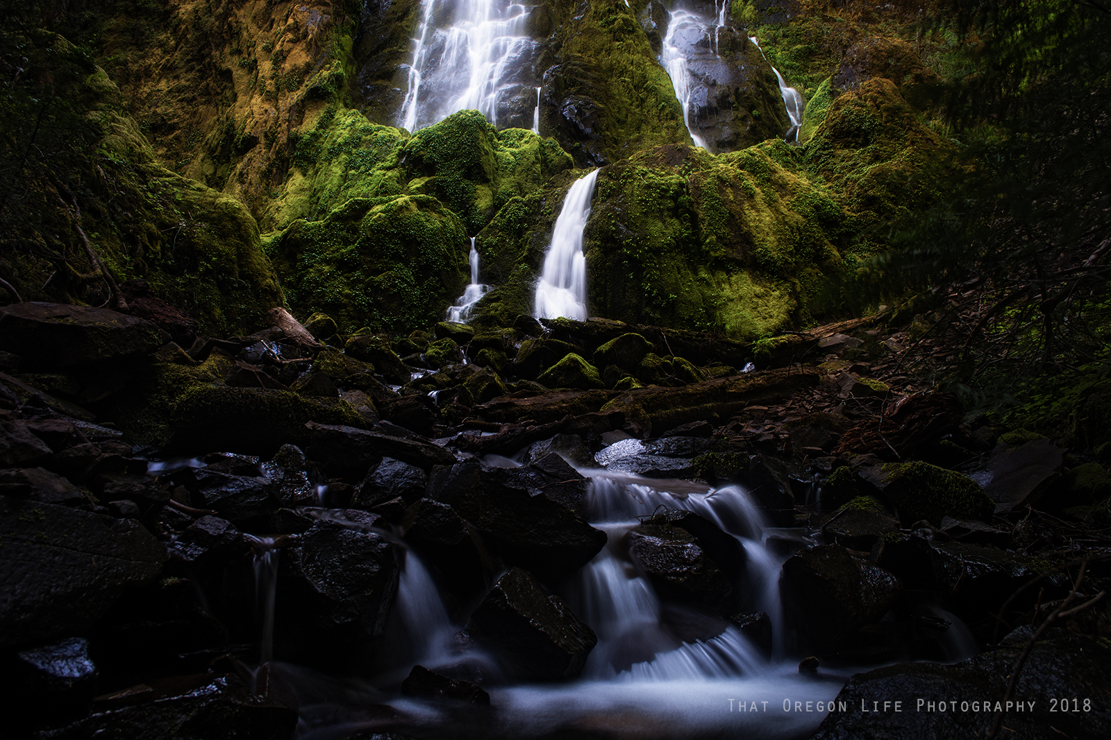
I grew up in Lane County and first found Spirit, Moon and Pinard Falls after a local tip sent me beyond Cottage Grove with my camera. Those personal discoveries remain the heart of this guide, while the August 2026 update adds clearer trail planning, official-source checks and direct connections to our Oregon Waterfalls Guide and Oregon Hiking Guide.
Waterfalls Near Eugene
Click on the map above for all waterfalls near Eugene, Oregon mentioned in this article.
Use the trip planner above to compare distance, difficulty and driving corridor. Travel times are approximate, forest-road conditions can change, and Cascade snow may linger long after lower-elevation trails are clear.
1. Spirit Falls
About an hour and 15 minutes from Eugene
Spirit Falls is reached on a short forest walk of roughly 0.6 mile round trip. The final approach can be wet and slick, and access uses gravel forest roads that should be checked before leaving pavement.
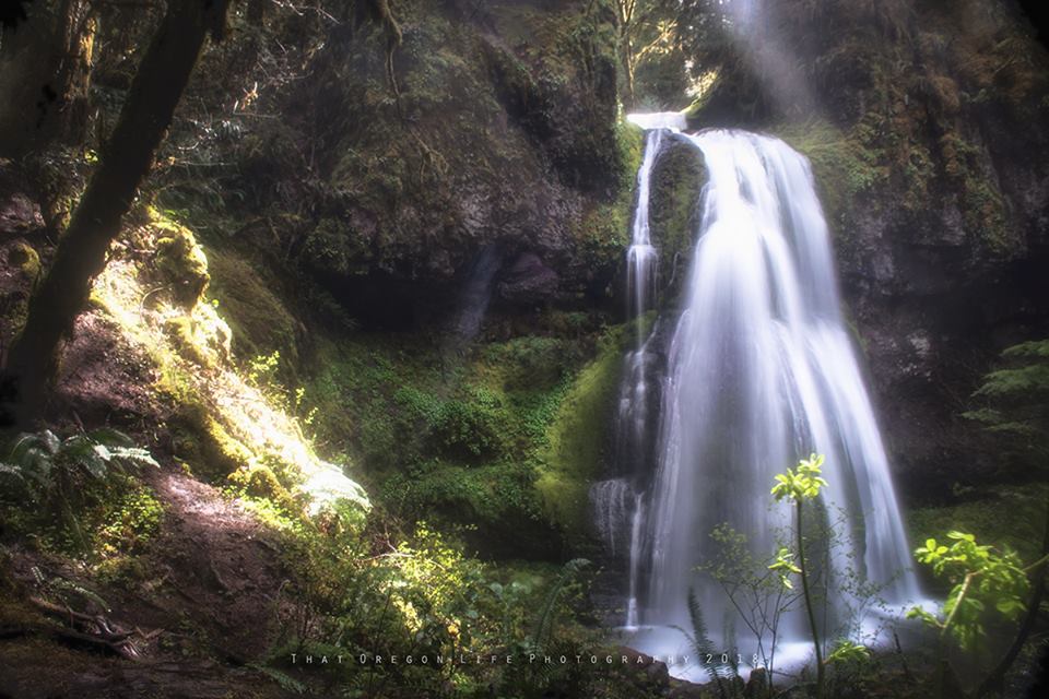
Spirit, Moon and Pinard Falls make a natural themed day, but they are three separate hikes with separate trailheads—not three waterfalls reached on one continuous trail.
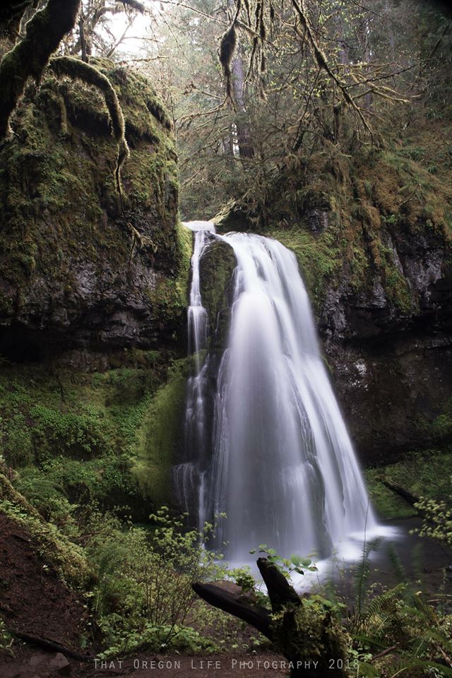
The old-growth habitat is part of the experience. Keep voices low, stay on the established route and observe wildlife from a distance.
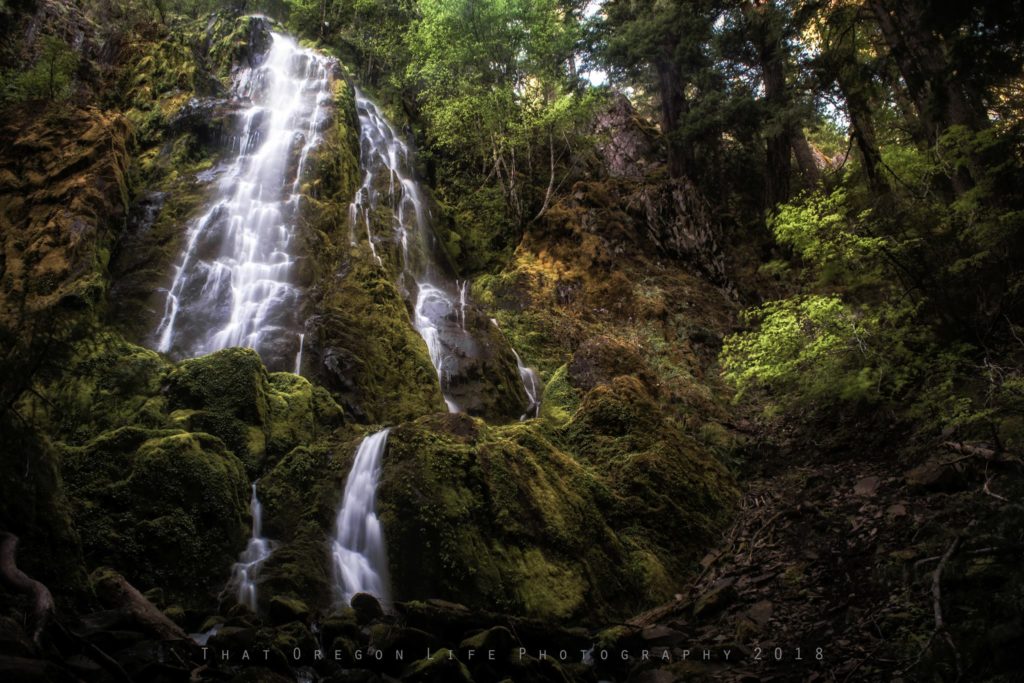
2. Moon Falls & Pinard Falls
About an hour and 15 minutes from Eugene
Plan these as three separate out-and-back hikes. Spirit Falls is roughly 0.6 mile round trip, Moon Falls about 1 mile, and Pinard Falls about 1.2 miles. Drive between the signed trailheads and confirm current forest-road access first.
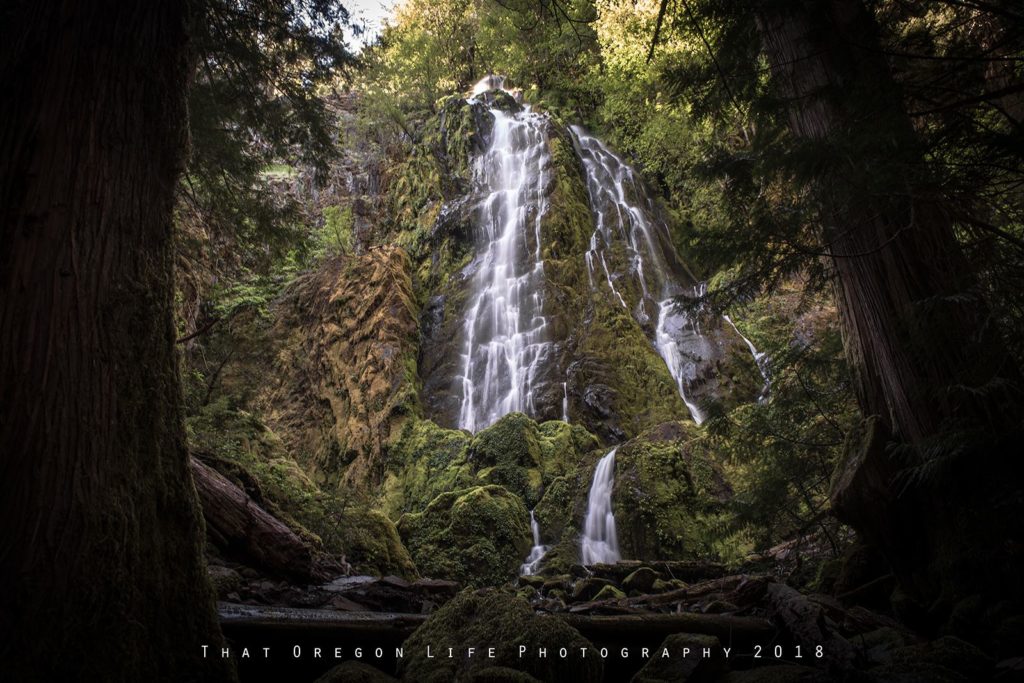
Pinard Falls is the longest of the three short outings. Use the dedicated guide and current land-manager information rather than an older mileage marker or unsigned spur-road instruction.
The East Fork of Layng Creek drops through a bedrock notch into a wooded gorge. The route can be rough and wet; stay on the established trail and keep back from unstable edges.
Do not rely on the older “backward sign” instruction formerly published here. Signs, roads and access can change; follow current posted directions.
Driving and road conditions
Moon, Spirit and Pinard Falls are reached beyond Cottage Grove on a network of paved and gravel roads. Check the official land manager and current road conditions before departure, carry an offline map, and do not assume a phone map has a safe or open route.
RELATED: 11 Hikes in Oregon Perfect for Rainy Days
3. Proxy Falls Trailhead
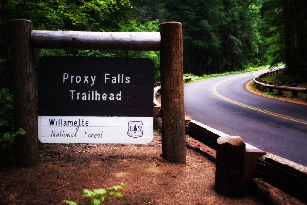
Around 58 miles from Eugene
Known as the Proxy Falls Trailhead, this one is definitely unique. The 225-foot falls is said to be one of the most frequently photographed waterfalls in Oregon. In fact, Proxy Falls is one of America's Top 10 Most Picturesque Waterfalls. Proxy Creek is fed by springs on the shoulder of North Sister, breaking over a wall of columnar basalt liberally marinated in mosses. You will find two stunning viewpoints which give two different perspectives of the falls.
READ MORE: Proxy Falls is One of Oregon’s Most Gorgeous Hikes
4. Salt Creek Falls
Around 65 miles from Eugene
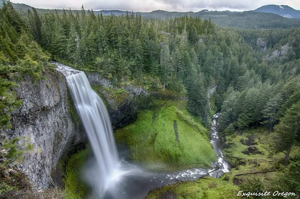
Salt Creek Falls provides a major Cascade waterfall view after only a short walk from the developed area when the seasonal access and facilities are open. Snow and ice can substantially change both the road approach and the trail; check current conditions before visiting.
READ MORE: Salt Creek Falls is Oregon’s Second Highest Gorgeous Waterfall
5. Silver Falls State Park
About an hour and 25 minutes from Eugene
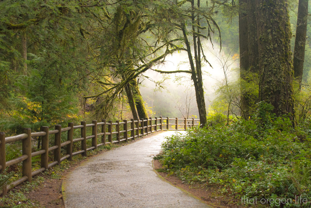
Commonly referred to as the "crown jewel" of the Oregon State Parks system, one visit, and you will understand why the name is well deserved. Silver Falls State park is best described as magical, and offers incredible viewpoints. Part of the Trail of Ten Falls, and considered a moderate hike at around 7.2 miles, you can spend a whole day here exploring. Arriving at the park, you won't have to walk far to check out the famous South Falls, where you can actually walk behind a curtain of waterfall. While there are no pets allowed on the Canyon Trail, your furry little friends are allowed as they are leashed on all other trails.
Silver Falls State Park offers more than 35 miles of backcountry trails for hiking, horseback riding, and mountain biking. Horseshoe pits, BBQ stands, picnic shelters, tables, a playground, a lead area for dogs, and large lawns can be found at the South Falls day-use area.
Camping inventory, reservations, fees and operating dates change. Use the current Oregon State Parks reservation system rather than relying on the older campsite counts previously shown here.
READ MORE: Silver Falls State Park In Oregon Is Absolutely Stunning
6. Sweet Creek Falls
About 46 miles from Eugene
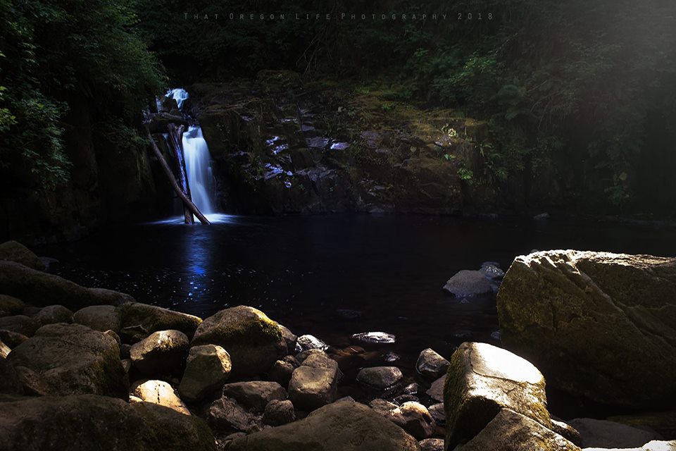
Sweet Creek Falls has a special place in my heart, as I have fond memories of taking my little boy here when he was much younger.
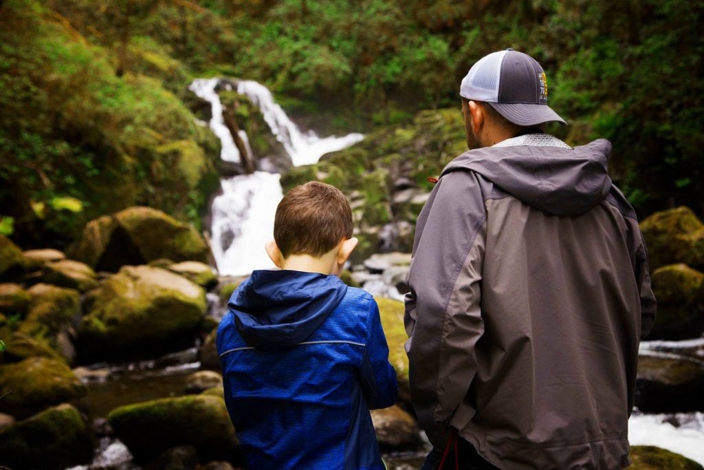
Sweet Creek Falls is a family-friendly Coast Range option near Mapleton, with a series of cascades and waterfalls along Sweet Creek. Storm damage has affected access in the past, so verify which trailhead and boardwalk sections are open before driving out.
READ MORE: Sweet Creek Falls is One Of Oregon's Most Stunning Hikes
7. Sahalie and Koosah Falls
About an hour and 15 minutes from Eugene
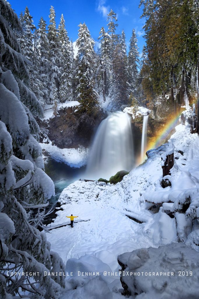
Whenever I travel the McKenzie corridor, I make time for Sahalie Falls and Koosah Falls. A very short viewpoint visit and the longer forest loop are different outings, so choose the route that fits your group.
Sahalie has a developed viewpoint close to the parking area, while a connected trail continues toward Koosah Falls and the McKenzie River. Wet surfaces, roots and winter ice still matter. Check the dedicated waterfall pages for current access, route length and official-source links.
Directions: Use the signed Sahalie Falls or Koosah Falls day-use area on Highway 126 and verify current road and facility status before departure. Do not park outside designated areas or block traffic.
8. McDowell Creek Falls Loop
About an hour and 5 minutes from Eugene
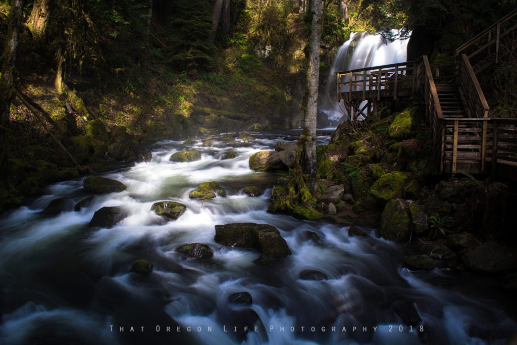
I have explored this moderate hike a handful of times, and every time I visit I am reminded of just how lucky we are to live in such a gorgeous state. Mcdowell Creek Falls Loop features three waterfalls, all of which you will love. The hike itself is just under 2 miles for the full loop, starting at Lower McDowell Falls and working your way up about 0.2 miles to Royal Terrace Falls. After seeing Lower McDowell Falls and Royal Terrace Falls, you will cross a gravel road that will take you to the 40-foot Majestic Falls.
READ MORE: McDowell Creek Falls Loop
9. Alsea and Green Peak Falls Loop Trail
About an hour and 10 minutes or so from Eugene
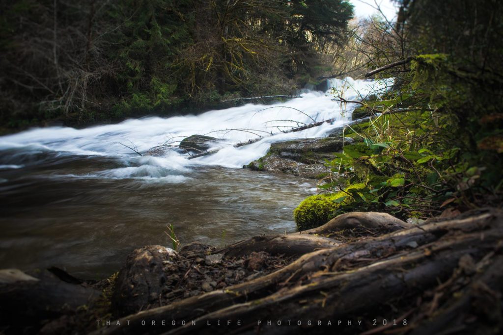
Alsea Falls and nearby Green Peak Falls offer a lower-elevation forest outing west of the Willamette Valley. Water, rock and current can be hazardous; this guide does not characterize the falls as a swimming hole. Check current BLM access and day-use information before visiting.
Getting there: Use the current BLM directions for the Alsea Falls Recreation Site. Rural road routing and site access can change, so avoid relying on the older turn-by-turn mileage previously published here.
10. Abiqua Falls
About an hour and 50 minutes from Eugene
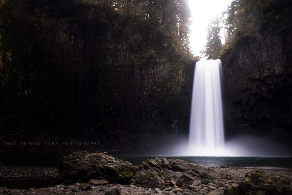
Abiqua Falls is a more distant, rugged bonus option that fits better with a Silverton or Salem-area trip than a casual Eugene waterfall day. The unsigned approach, rough road, steep trail and private-land setting demand advance research; use our dedicated Abiqua Falls guide and confirm current access before attempting it.
READ MORE: Abiqua Falls in Oregon is Out of This World
11. Butte Creek Falls
Around 2 hours from Eugene
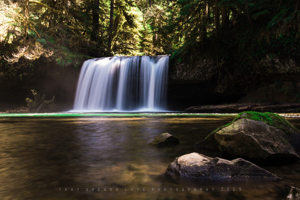
Butte Creek Falls is another extended-range option closer to Scotts Mills than Eugene. The waterfall loop can be rewarding, but forest-road access, fire impacts and trail conditions should be verified before the drive.
Do not assume the trail, road or restroom is currently available. Check the Oregon Department of Forestry recreation information before departure.
Directions to Butte Creek Falls
Use current Oregon Department of Forestry directions and road information. The previous turn-by-turn forest-road instructions and coordinates have been removed because access conditions and signage can change.
READ MORE: Hike to Butte Creek Falls in Oregon
12. Brice Creek & Trestle Creek Falls
About an hour from Eugene
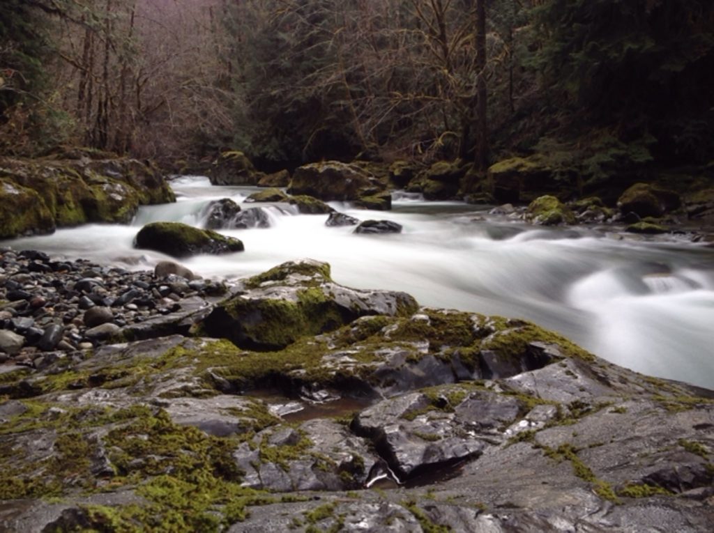
Brice Creek Trail is a moderate 8.1 mile out and back trail near Dorena, Oregon. The trail has many access points for those wishing to take a shorter hike. At the end of the trail another short .25 mile trail will lead you to Trestle Creek Falls while a longer 2.6 mile loop will take you to upper Trestle Creek Falls.
READ MORE: Explore Brice Creek Trail to Trestle Creek Falls
13. Kentucky Falls
The trail to Kentucky falls is about 4.4 miles hiking out and back, with a steep climb on the return. This hike on the Oregon Coast near Mapleton is a bit more challenging and is recommended for more experienced hikers. Kentucky Falls is not far from Sweet Creek Trail, which we mentioned earlier.
Kentucky Falls features an upper and a lower viewpoint, which you will see incredible twin falls dropping 100 feet from the lower falls observation deck. The twin is known as North Fork Falls.
Read more about this hike: Website
RELATED: Explore the Oregon Hiking Guide and interactive trail map
Use this guide to choose one waterfall corridor, then open the dedicated destination page and official source before leaving. For statewide planning, browse the complete Oregon Waterfalls Guide.