Rowena Plateau Hiking Trail
Our original Columbia Gorge plateau story, including wildflower season notes and photography.
Read the guide
Columbia River Gorge · Near Mosier
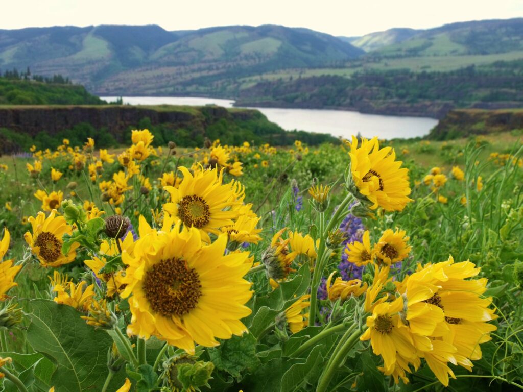
The Rowena Plateau walk starts at Rowena Crest Overlook and crosses open grassland in the Tom McCall Nature Preserve, with Ice Age flood geology and Columbia River views. Oregon State Parks manages the overlook; the preserve is a Nature Conservancy landscape with strict stay-on-trail rules. This is an exposed Gorge outing, not a forest hike. Spring wildflowers are the draw. Heat, wind, and fire restrictions matter later in the year. There is no day-use fee listed at Rowena Crest on the official park profile; verify current notices.
The place
The Rowena Plateau walk starts at Rowena Crest Overlook and crosses open grassland in the Tom McCall Nature Preserve, with Ice Age flood geology and Columbia River views. Oregon State Parks manages the overlook; the preserve is a Nature Conservancy landscape with strict stay-on-trail rules.
This is an exposed Gorge outing, not a forest hike. Spring wildflowers are the draw. Heat, wind, and fire restrictions matter later in the year. There is no day-use fee listed at Rowena Crest on the official park profile; verify current notices.
Park only in the signed Rowena Crest lot. Do not park on vegetation or block the Historic Columbia River Highway. Oregon State Parks directs restrooms to Lower Mayer, not the crest. Dogs are not allowed in the Tom McCall Nature Preserve.
Stay on the established route. The plateau has little shade, cliff edges, ticks, and poison oak. The featured walk is the preserve route from the crest, not a mix of nearby Mosier Plateau or Memaloose Hills mileages.
This planning page is the trail-facts URL. The That Oregon Life Rowena article remains the longer Gorge story and photography.
From our Oregon archive: Read That Oregon Life’s full story about this trail.
Trailhead map
Coordinates: 45.681800, -121.299800 · Open in Google Maps
The coordinates identify the documented public parking area or trailhead—not a summit, waterfall, or off-trail feature.
Know before you go
No star ratings
The easy rating reflects the documented 2.6 mi round trip on a signed public route. Mud, heat, tides, ice, and crowding can still make the outing harder than the mileage suggests.
Protect the place
Trails, meadows, and viewpoints wear down quickly when people cut switchbacks, wander off the route, or leave waste behind. Keep this outing on durable, legal ground.
From our Oregon archive
Continue planning with That Oregon Life’s existing trail reporting, photography, regional guides, and nearby trip ideas.
Our original Columbia Gorge plateau story, including wildflower season notes and photography.
Read the guideOfficial Oregon State Parks profile reviewed August 31, 2026.