
Oregon Coast seasonal guide
Oregon King Tides
How to experience Oregon’s highest winter tides from safer viewpoints, understand what you are seeing, and plan around local tide tables.
← Back to the Oregon Coast guideWhat they are
A preview of the ocean’s future reach
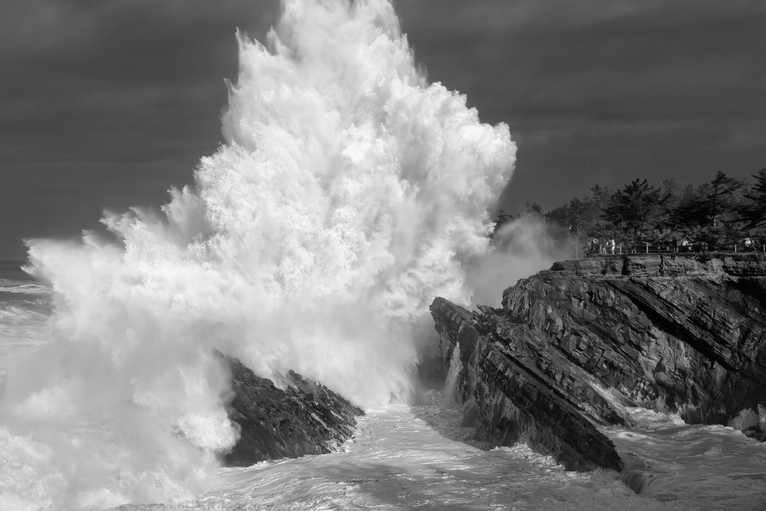
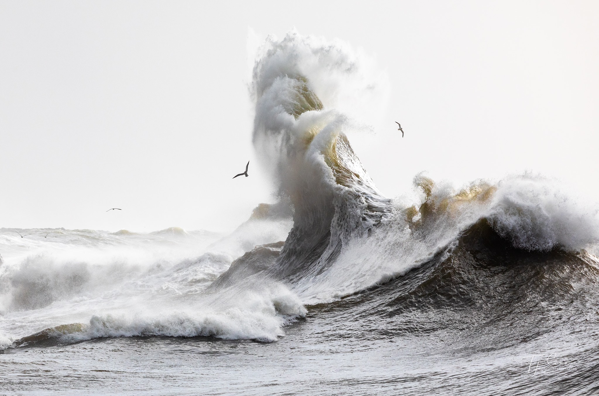
“King tide” is an informal name for exceptionally high tides produced when the gravitational effects of the moon and sun reinforce one another. Wind, waves, and low atmospheric pressure can push water higher still. Oregon’s photo project uses these events to document places that may experience more frequent flooding as sea level rises.
Stay high and well back
Safer places to watch
Shore Acres State Park
Use designated elevated viewpoints; never approach wave-battered edges or closed areas.
Official details for Shore Acres State ParkDepoe Bay seawall
Watch from behind the seawall while respecting closures and avoiding exposed rocks.
Cape Perpetua
High viewpoints provide scale without requiring beach-level exposure.
Official details for Cape PerpetuaEcola State Park
Elevated viewpoints can reveal the reach of winter surf when park conditions allow.
Official details for Ecola State ParkYaquina Head
Use established headland viewpoints and follow ranger instructions.
Official details for Yaquina HeadPlan with a local tide station
When to go
Check the official season dates
The Oregon King Tides Project announces observation windows each season; dates change annually.
Use the nearest tide table
High-tide time and height vary by location. Oregon State Parks publishes regional tide tables.
Arrive early
Be settled at an elevated viewpoint before the predicted high tide rather than moving during peak water.
Before you leave
Build your plan from official information
Start with the annual observation windows, select the NOAA station nearest your viewpoint, then check the weather and any park alerts. A predicted tide is only one part of the conditions: swell, wind, and atmospheric pressure can make the ocean reach much farther.
The non-negotiables
Essential safety
Never stand on logs, beaches, jetties, cliff edges, or low rocks to photograph large surf. Do not turn your back on the ocean. Obey closures, keep children and pets close, and leave if water reaches your route back. A camera is never worth entering the surge zone.