Are you ready to experience the awe-inspiring beauty of the southern Oregon coast? Look no further than the Samuel H Boardman State Scenic Corridor. This stunning 12-mile stretch of coastline boasts some of the most breathtaking vistas in the Pacific Northwest and the entire Oregon coast. From a rugged coastline to secluded coves, there's no shortage of natural wonders to explore.
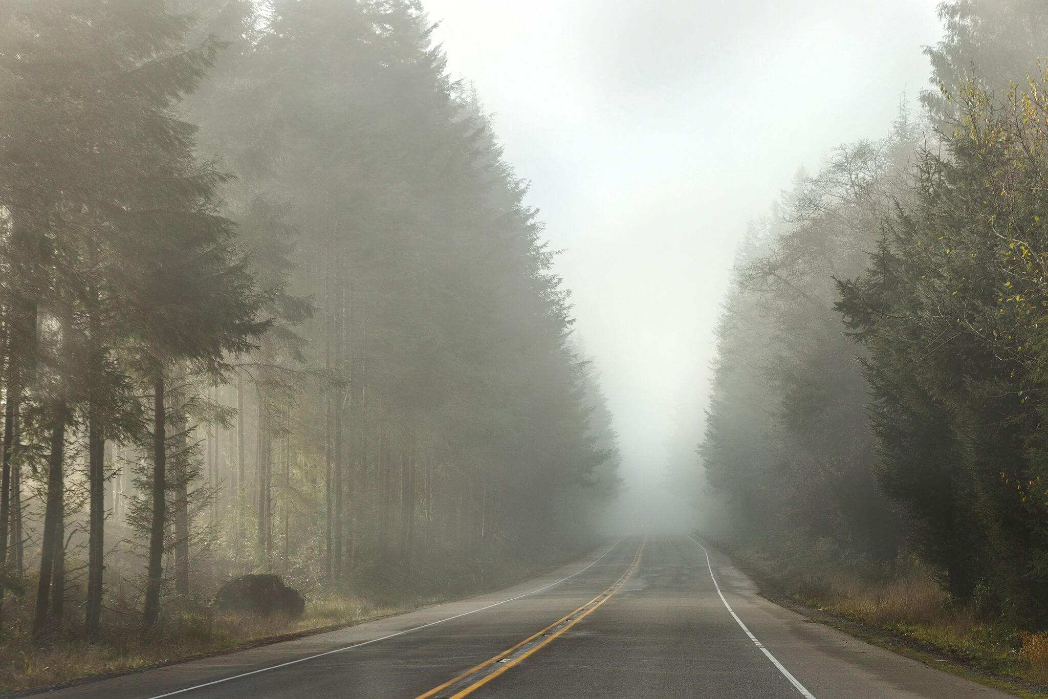
If you're planning a trip to the stunning Pacific coastline in southern Oregon, be sure to follow these tips to stay safe and protect the fragile ecosystem:
- Always stay on designated trails, as unmarked trails can be unsafe and damage sensitive cliffside ecosystems.
- Avoid climbing on natural bridges, sea stacks, and other rock formations, as they can be extremely dangerous.
- Be aware of changing tides while you're on the beach, so you don't get stranded. Never turn your back to the ocean, as sneaker waves are common in this area. Avoid logs and small coves or caves that don't provide quick escapes to higher ground.
- Park only in designated spaces in the several parking lots situated throughout the corridor. This helps to prevent damage to the fragile ecosystem.
- Pack out all garbage and pet waste. This ensures that the coastline remains pristine and beautiful for generations to come.
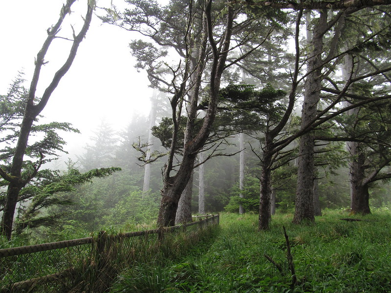
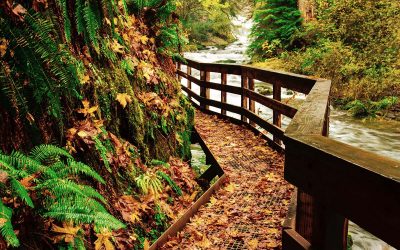
Regardless of whether you choose to traverse the entire 18-mile trail or just a quarter-mile stretch, it's important to take a pause and contemplate the countless individuals who have trodden this well-worn path for centuries.
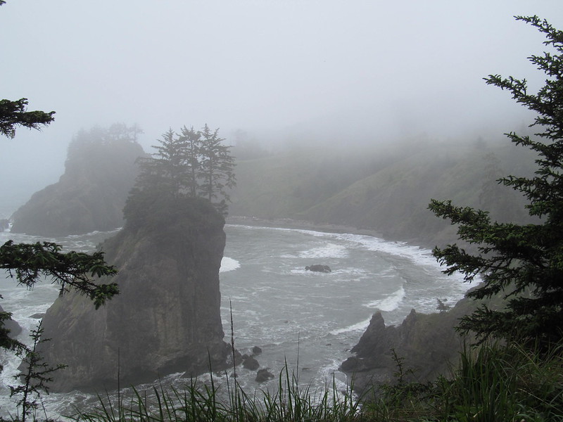
From Native Americans to early explorers, gold miners, and settlers, this trail has witnessed the footsteps of many different peoples throughout history. By walking in their footsteps, you can gain a deeper understanding of their experiences and the challenges they faced, which can be a humbling and thought-provoking experience.
So whether you're a seasoned hiker or a casual stroller, be sure to pay homage to the trail's rich history as you make your way along its route.
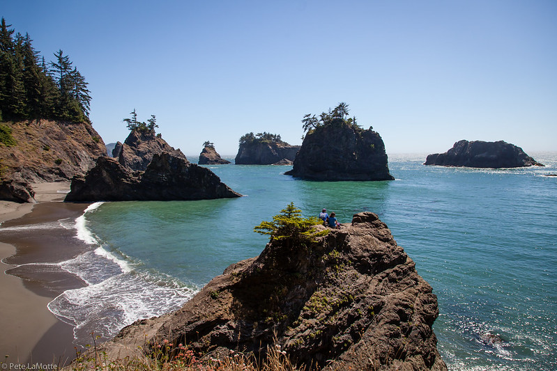
Places to See at Samuel H Boardman – Viewpoints
Whether you're a seasoned hiker or just looking for a peaceful place to unwind, this state park has something for everyone. So grab your hiking boots and camera, and get ready to be dazzled by the unparalleled beauty of this awe-inspiring area.
RELATED: 13 Best Oregon Coast Hikes (6 With Waterfalls!)
Viewpoints and Officially Mapped Hikes at Samuel H. Boardman
Samuel H. Boardman is a 12-mile scenic corridor with an 18-mile segment of the Oregon Coast Trail. It is not one continuous, easy coastal path: some sections are steep, some descend to beaches, and the official map shows highway-shoulder connections and trail gaps. Download the official Samuel H. Boardman Trails and Viewpoints map before choosing a route.
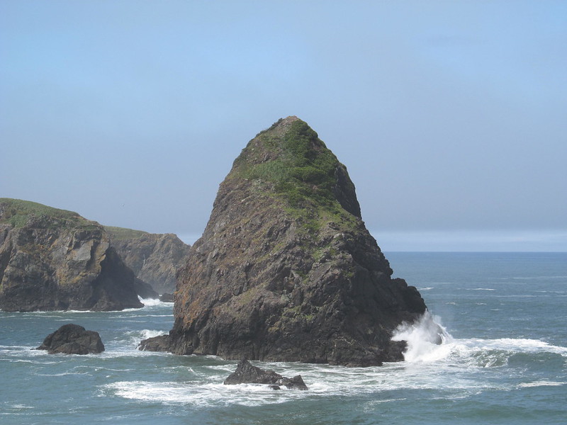
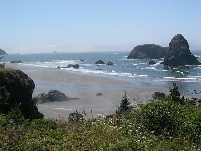
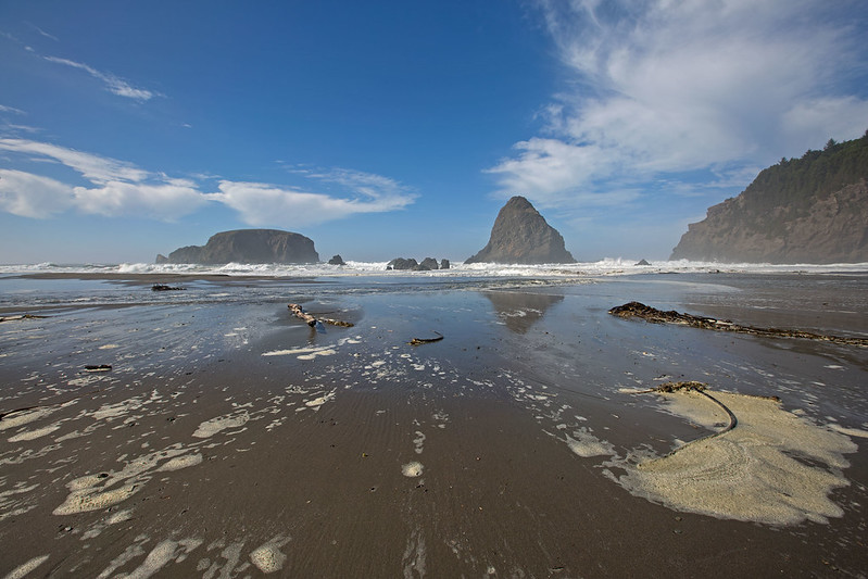
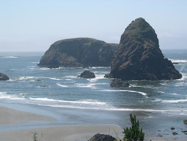
Whaleshead Beach
For the simplest beach access, use Whaleshead Beach Picnic Area and follow the easy, relatively flat path described by Oregon State Parks. A separate trail drops steeply from Whaleshead Viewpoint. These approaches should not be combined and described as a casual 2.9-mile loop; nearby Oregon Coast Trail connections are rougher, steeper, and require the official map.
- Choose the picnic-area approach for the easiest walk to the beach.
- Use extra caution on the steep route from Whaleshead Viewpoint.
- Check tides before walking the beach, and never depend on beach access as an escape route.
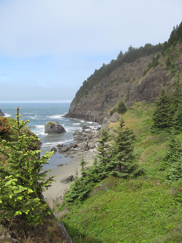
Oregon Coast Trail Through the Corridor
Oregon State Parks identifies an 18-mile Oregon Coast Trail segment through the corridor. Conditions and continuity vary: the park map marks places where hikers must use the Highway 101 shoulder and areas where no continuous trail is available. Treat this as a collection of sections unless you have carefully planned the full route, transportation, tides, and current closures.
For a broader coast-planning overview, see our Oregon Coast guide.
Indian Sands to China Beach
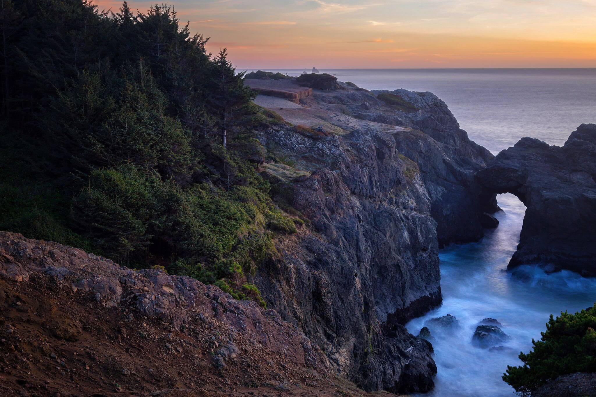
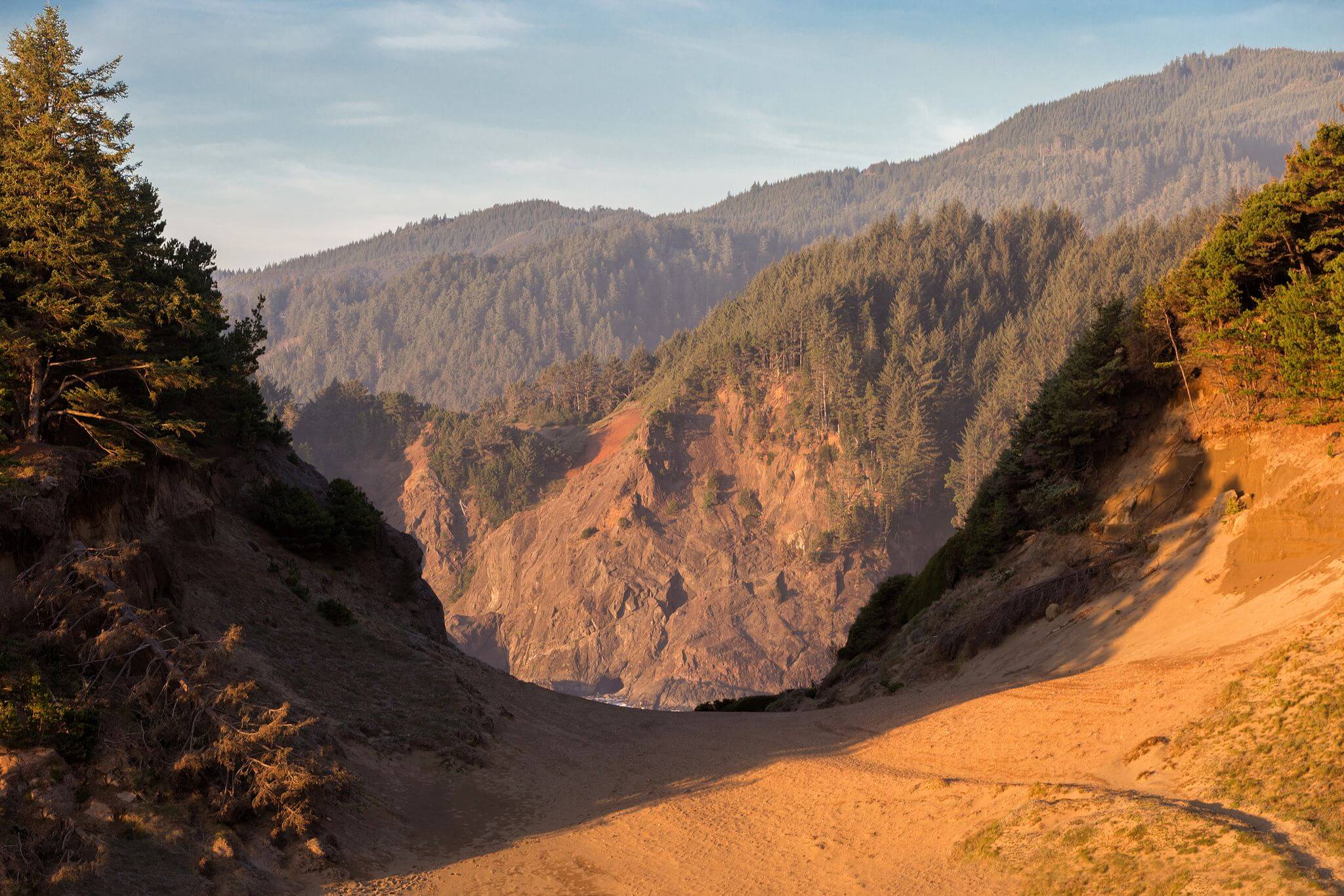
The official brochure describes Indian Sands to China Beach as a demanding 7-mile round trip. The route begins at Indian Sands, crosses steep and sometimes difficult terrain, reaches the Thomas Creek area, includes a Highway 101 shoulder crossing, and continues through forest toward China Beach. Blowing sand can obscure the route at Indian Sands, so carry the official map and do not rely on informal tracks.
- Approximate distance: 7 miles round trip, according to Oregon State Parks.
- Expect steep terrain, route-finding, exposed slopes, and a highway-shoulder segment.
- Turn around if trail damage, weather, visibility, or your group’s experience makes the route unsafe.
Arch Rock
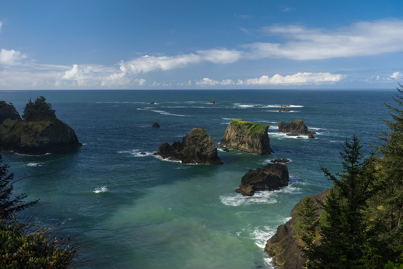
Arch Rock is a viewpoint stop rather than a strenuous hike. From the paved parking area, a short paved path leads to an overlook of offshore sea stacks and islands. Stay behind barriers and on the maintained path; cliff edges and unstable ground are not places to explore.
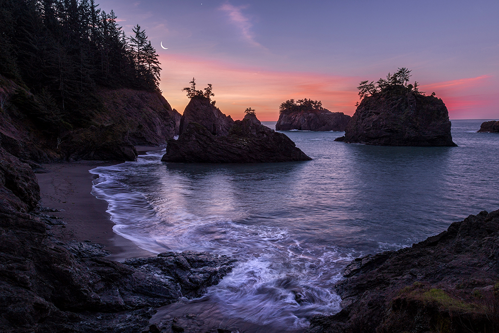
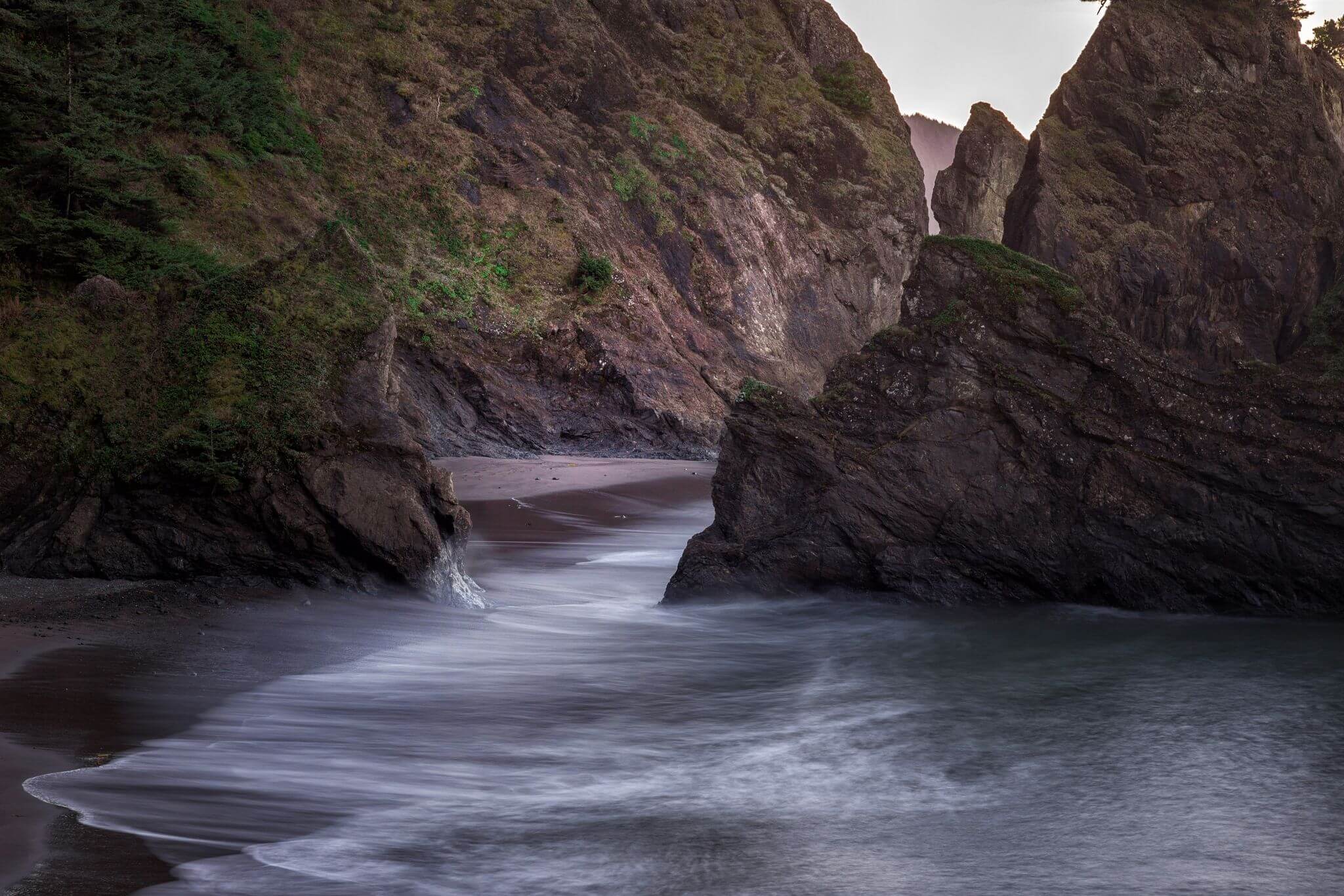
Secret Beach and Thunder Rock Cove
From the small gravel parking area near Thunder Rock Cove, Oregon State Parks describes a rough three-quarter-mile trail down to Secret Beach. That is roughly 1.5 miles round trip before any beach walking. Access beyond the initial beach depends on low to mid tide, and the return is a sustained climb.
- Use the signed access and remain on the established trail.
- Check our Oregon Coast tide tables and confirm the current NOAA forecast.
- Do not enter coves or go around rocks unless you have enough time to return well before the tide rises.
Natural Bridges Viewpoint
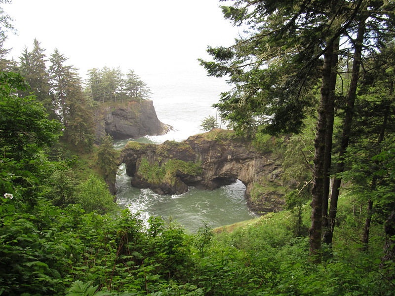
Use the short official trail to the Natural Bridges viewpoint. This is not an invitation to cross the arches or follow cliffside social trails, and it should not be presented as an easy connector hike to North Island. The official map shows interrupted or landslide-affected trail connections in this part of the corridor. Stay at the maintained viewpoint and check current park notices before leaving.
Cape Ferrelo Loop
Cape Ferrelo Loop is a distinct one-mile loop that climbs a grassy headland to open coastal views. Spring wildflowers and seasonal whale watching are highlights, but the exposed bluff can be windy and has dangerous edges. Stay on the official trail.
Cape Ferrelo to House Rock
The trail between Cape Ferrelo and House Rock is a separate four-mile route, not the one-mile Cape Ferrelo Loop. Unless you arrange a shuttle or second vehicle, returning to the starting point can double the hiking distance. The route includes forest, headlands, and side paths; use the official map and current park conditions rather than informal online tracks.
Before any visit, check the current Samuel H. Boardman park notices. At the August 31, 2026 review, Oregon State Parks listed an open-flame ban in all day-use areas and beaches.
RELATED: 13 Top Oregon State Parks You Didn’t Know Existed
History
The park's history is as fascinating as its natural beauty. Between 1949 and 1957, the state purchased the majority of the land from private owners and the U.S. Bureau of Land Management, with some tracts still allowing for timber removal and sheep grazing. In 1950, Borax Consolidated, Ltd., generously donated over 300 acres for the park, and an additional 62.90 acres for the Oregon Coast Highway right-of-way.
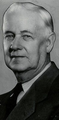
The visionary behind this breathtaking coastal park was Samuel H. Boardman, the first Oregon State Parks superintendent who served from 1929 to 1950. Boardman tirelessly worked to acquire the land and even proposed an extensive National Park along the Curry County coastline in the 1940s. Though his vision never came to fruition, this state park is a testament to his dedication and was named in his honor upon his retirement.
On August 7, 1970, a commemorative monument was unveiled at House Rock View Point, cementing Boardman's legacy as the founding father of this stunning natural wonder.
Frequently Asked Questions
When is the best time to visit the Samuel H Boardman State Scenic Corridor?
Late spring to fall is the best time to visit the park. The weather is typically drier and sunnier compared to other parts of Oregon, making it a great destination year-round. Even if it rains, it gives the park a moody, atmospheric feel. However, be aware that winter brings more rain, and some lodges and restaurants may have limited hours or be closed.
Do I need a park pass to visit the Samuel H Boardman State Scenic Corridor?
No, a park pass is not needed to visit the park. Admission is free for all visitors.
Are there any tide restrictions when exploring the Samuel H Boardman State Scenic Corridor?
Yes, it's important to check the tides before exploring the park. Many areas cannot be accessed during high tide, so plan your visit accordingly. Also, be cautious when swimming in the Pacific Ocean, as it can be very powerful and dangerous.
Are there any facilities at the Samuel H Boardman State Scenic Corridor?
Yes, there are restrooms and picnic tables available at Lone Ranch, Whaleshead Beach, and Arch Rock.
What should I pack for my visit to the Samuel H Boardman State Scenic Corridor?
It's always a good idea to be prepared for the weather conditions. We recommend packing rain and waterproof gear to stay dry and comfortable during your visit.
Camping Nearby
One of the best camping options near the corridor is Harris Beach State Park Campground in Brookings, south of Samuel H. Boardman State Scenic Corridor. Campsite types and availability vary, so confirm current amenities and reservations on the official Harris Beach State Park page.
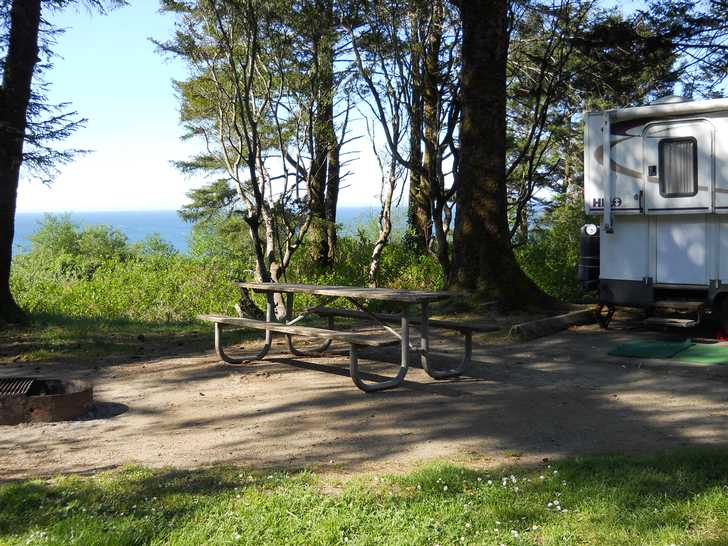
The campground is well-maintained and features several amenities, including clean restrooms, hot showers, and a camp store. Whether you're looking to hike the trails, explore the coast, or simply relax by the beach, Harris Beach State Park Campground is a great choice for your camping needs nearby.
RELATED: 19 Best RV Parks On The Oregon Coast
How to Get There
You will find this beautiful park located between Brookings and Gold Beach along Highway 101.
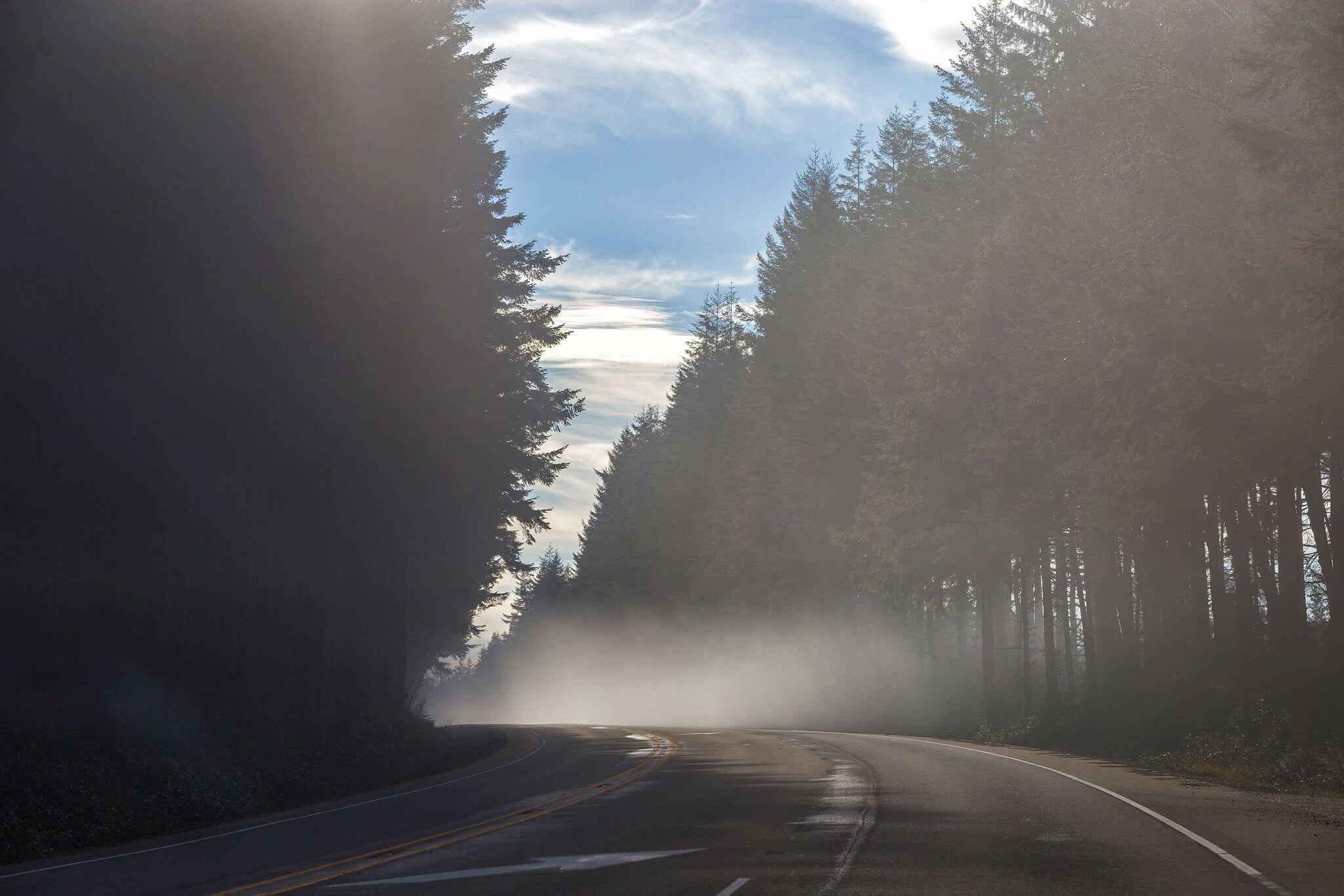
Samuel H. Boardman lies along Highway 101 between Brookings and Gold Beach. From Portland, common approaches reach the south coast through either Grants Pass and US-199 toward Brookings or the Roseburg/Coos Bay corridor, depending on your first stop and current road conditions. Do not rely on a fixed route: check ODOT TripCheck for closures, construction, weather, and the safest available approach before leaving.
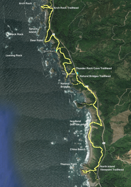
Samuel H Boardman State Scenic Corridor Map
Where To Stay
Welcome to the sunny shores of Gold Beach, where finding the perfect place to stay is as easy as riding the waves. The Pacific Reef Hotel boasts rooms with stunning ocean views and an Outdoor Adventure Theater for a family-friendly movie night.
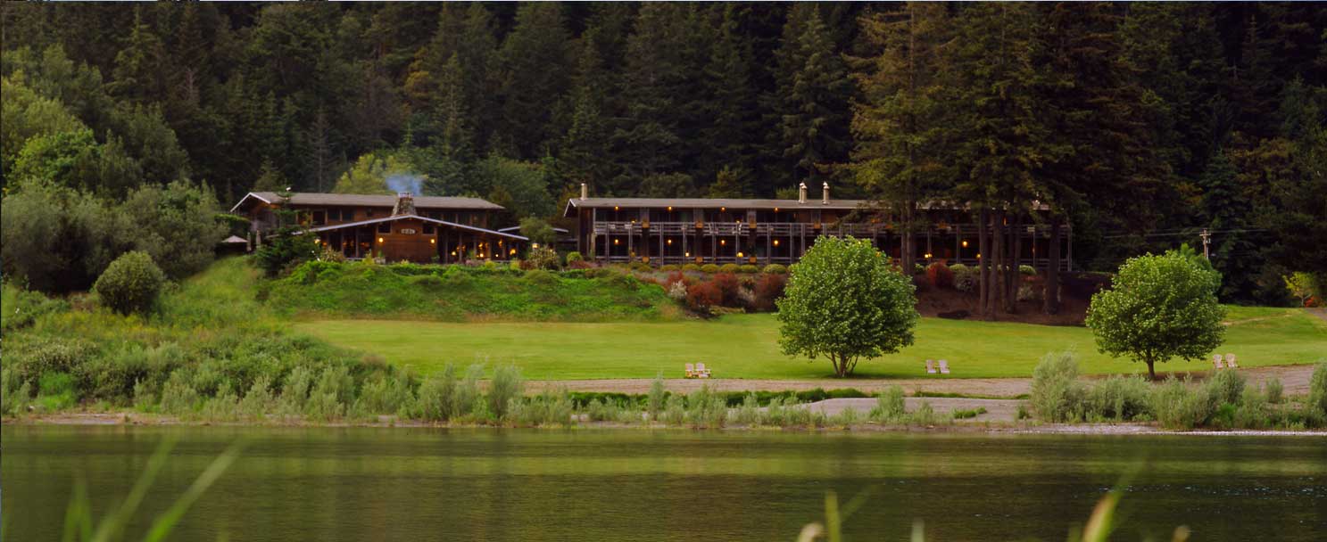
For a more serene and upscale stay, head 8 miles up the Rogue River to Tu Tu' Tun Lodge, where you can indulge in spa services, dine at a stellar restaurant, and rest your head in elegantly appointed accommodations.
Looking for a more contemporary vibe? The Beachfront Inn in Brookings offers rooms with picturesque views of the town's boat basin. But if camping is more your style, don't worry - there are plenty of options in the area, including the Whaleshead Beach RV Resort nestled in the Boardman Corridor, Harris Beach State Park, and Indian Creek RV Park. So whether you're looking for luxury or roughing it in the great outdoors, Gold Beach has you covered.
Nearby Attractions
- Barnacle Bistro, Gold Beach
- Bandon Bound: Your Ultimate Guide to Oregon Coast Fun
- Sweetening the Oregon Coast: A Visit to Cranberry Sweets & More