Updated August 2026: Gresham Butte Saddle Trail is a wooded city trail that climbs over the saddle between Gresham Butte and Gabbert Hill. The City of Gresham lists the official trail at 1.24 miles, with street-side access at SW 19th Drive off Towle Avenue and SE 19th Drive off Regner Road. A full out-and-back between those ends is therefore about 2.5 miles before any side trip.
This article also explains why the longer Gresham Butte–Butler Creek route should be treated as a composite urban hike, not one continuously signed city trail. Use the official city map, obey neighborhood and property boundaries, and compare more routes in our Oregon hiking guide.
Gresham Butte Trail quick facts
- Official trail length: 1.24 miles one way.
- Basic out and back: About 2.5 miles before optional spurs.
- Difficulty: Moderate, with sustained climbing and seasonal mud.
- Access: Street-side parking at the two city-listed ends; do not block homes or driveways.
- Route type: Forested saddle trail connecting neighborhood streets.
Hiking Gresham Butte in Gresham, Oregon
Gresham’s official trail page is the best source for current access and rules. Download the map before leaving, because unsigned neighborhood connections and third-party routes can make the area look more continuous than it is.
Do not confuse Gresham Butte with nearby Hogan Butte. Hogan Butte Nature Park was renamed Shane T. Bemis Nature Park. It is a separate, developed 46-acre park with parking, seasonal restrooms and a paved half-mile interpretive loop at a 930-foot volcanic viewpoint. It is the easier choice for visitors who want broad mountain views without a muddy saddle hike.
Hiking Option 1: Gresham Butte Saddle Trail
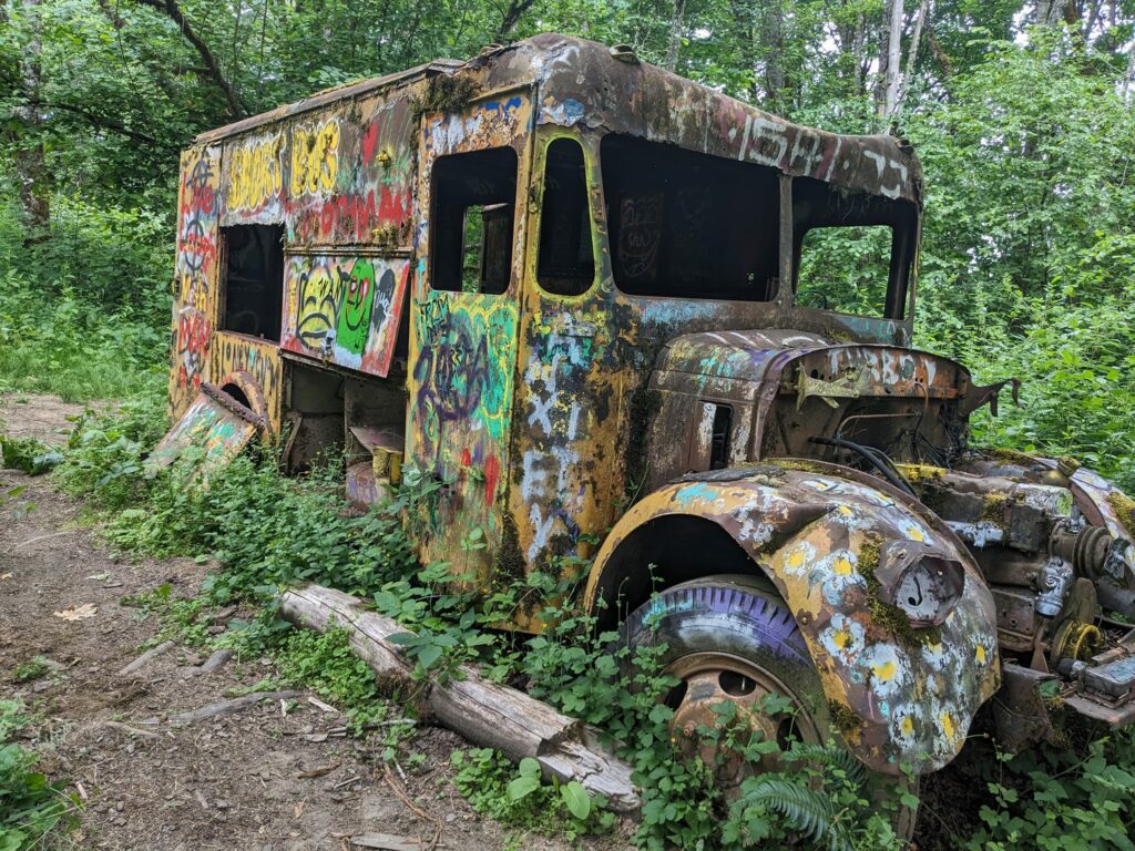
The Gresham Butte Saddle Trail follows a former logging road through upland forest and crosses several small tributaries.
The city lists 1.24 miles of official trail. Walking from one end to the other and returning is about 2.5 miles; third-party tracks that show a longer distance may include neighborhood approaches or a summit spur. Plan mileage from the exact parking point you use.
The forest is shaded, but the natural surface can become muddy, slick or blocked by storm debris. Check city notices after wind events and avoid widening the trail to bypass puddles.
Keep dogs leashed on city trail sections and obey every posted pet restriction where the route approaches land managed by another agency. Do not assume one rule applies across the entire longer composite route.
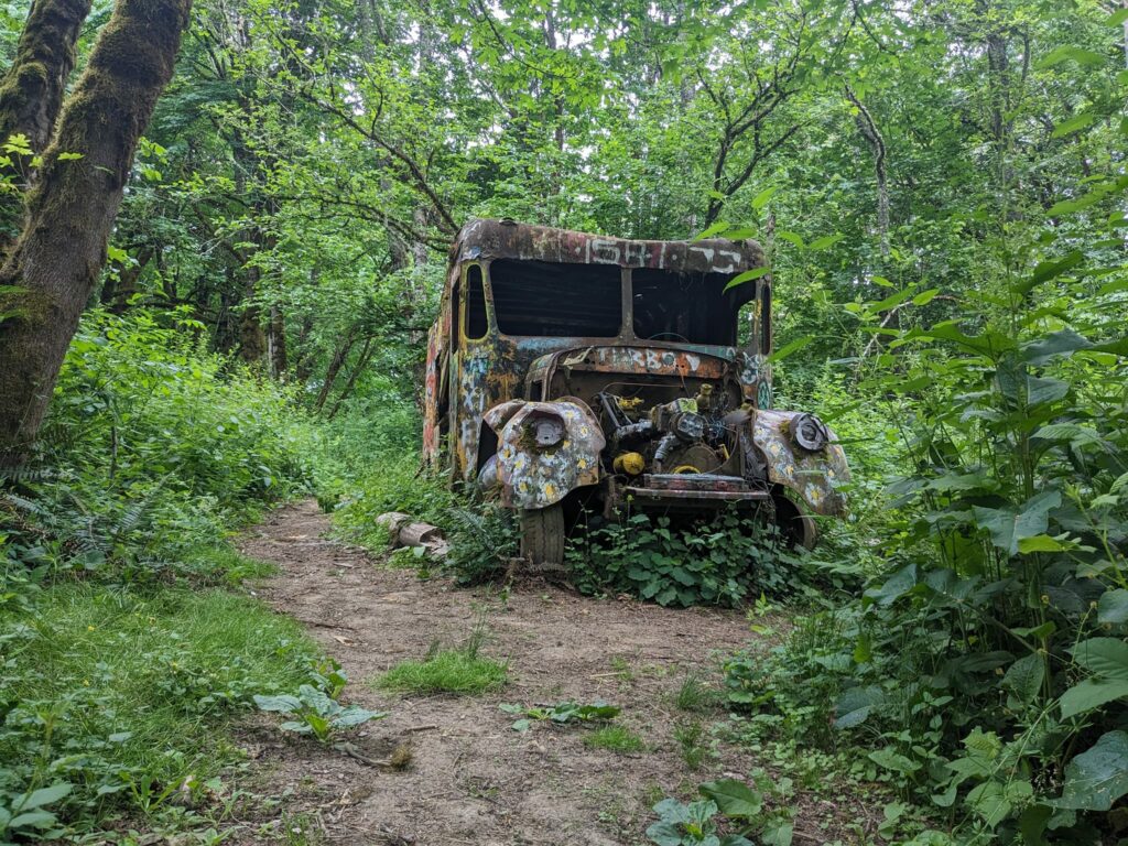
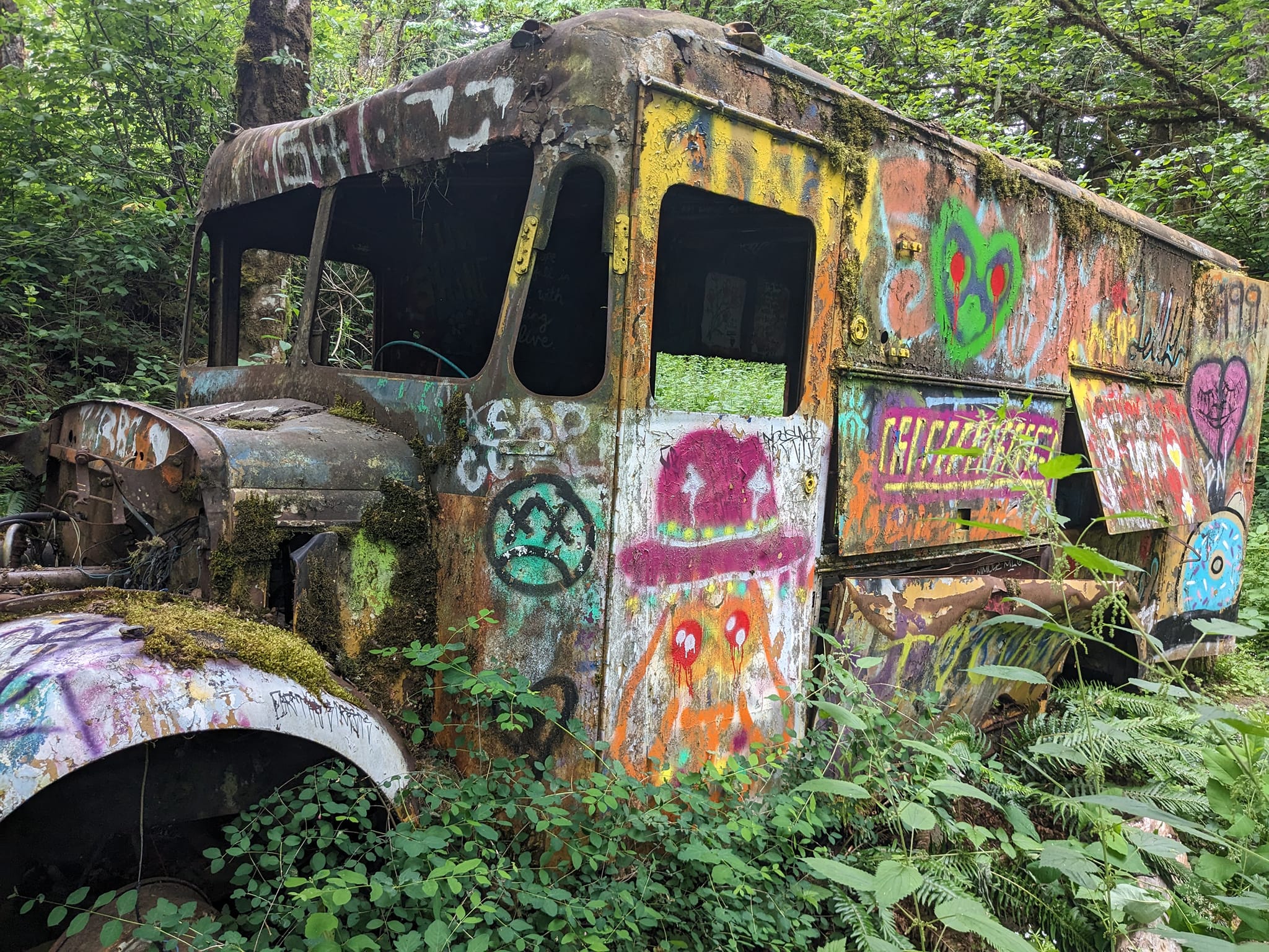
An old vehicle is visible along the forest route. View it from the established trail; do not climb on it, remove parts or cross a boundary to approach it.
Longer option: Gresham Butte and Butler Creek composite route
Some hikers combine Gresham Butte, neighborhood streets, Gabbert-area paths and the Butler Creek Greenway into a longer route described by third-party hiking guides. This is not one continuously signed city loop.
Published versions are often around 5.8 miles with substantial climbing, but exact mileage and access can change with the chosen streets and connections. Confirm each segment on the current City of Gresham trail map, stay on public rights-of-way and turn around if a connection is unsigned, closed or appears private.
This longer route passes through neighborhoods as well as forest. Keep voices low, leave driveways clear, leash pets and do not use informal cut-throughs.
We think you'll also like reading about this classic Gresham diner that serves up delicious milkshakes, and this Texas Style Barbecue joint in Gresham.
Before leaving, check the City of Gresham trail page. For more dependable route choices around the state, return to our Oregon hiking guide and trail map.