Amanda Trail in Yachats
Our original coastal trail reporting and photography for the Amanda Gathering Area and the walk south of Yachats.
Read the guide
Oregon Coast and Coast Range · Near Yachats
Amanda Trail’s north section is a coastal woodland walk from the south end of Yachats Ocean Road to the Amanda Gathering Area and memorial. The City of Yachats describes that north stretch as about one mile. This page uses that documented segment as the featured route, not the harder continuation toward Cape Perpetua. There is no parking at the north trailhead. Follow city guidance and use a legal nearby space without blocking Ocean Road. A recreation pass may apply if you instead start from Cape Perpetua parking.
The place
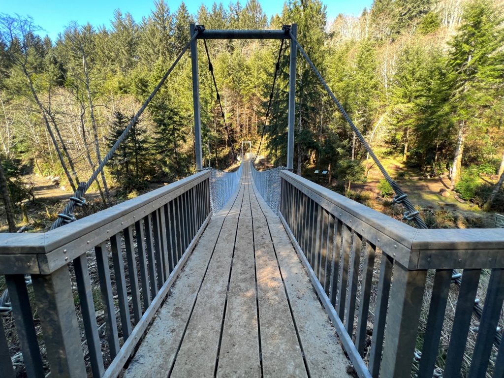
Amanda Trail’s north section is a coastal woodland walk from the south end of Yachats Ocean Road to the Amanda Gathering Area and memorial. The City of Yachats describes that north stretch as about one mile. This page uses that documented segment as the featured route, not the harder continuation toward Cape Perpetua.
There is no parking at the north trailhead. Follow city guidance and use a legal nearby space without blocking Ocean Road. A recreation pass may apply if you instead start from Cape Perpetua parking.
Expect mixed coastal forest, short road connections, and a Highway 101 crossing. The memorial is the natural turnaround for most visitors. Continuing roughly 2.2 miles from the gathering area to Cape Perpetua is a different, steeper outing and is not mixed into this mileage.
Mud, storm-damaged tread, and the highway crossing are the main hazards on the north section. The city page does not publish elevation gain for this segment, so this guide does not invent a number. Confirm current city and Forest Service notices before you go, especially after winter storms.
This planning page is the trail-facts URL. The That Oregon Life Amanda Trail article remains the longer story.
From our Oregon archive: Read That Oregon Life’s full story about this trail.
Trailhead map
Coordinates: 44.301900, -124.104100 · Open in Google Maps
The coordinates identify the documented public parking area or trailhead—not a summit, waterfall, or off-trail feature.
Know before you go
No star ratings
The moderate rating reflects 2 mi round trip with more effort, uneven tread, or access rules than a short developed walk. Match the group to the official route, not just the number on the card.
Protect the place
Trails, meadows, and viewpoints wear down quickly when people cut switchbacks, wander off the route, or leave waste behind. Keep this outing on durable, legal ground.
From our Oregon archive
Continue planning with That Oregon Life’s existing trail reporting, photography, regional guides, and nearby trip ideas.
Our original coastal trail reporting and photography for the Amanda Gathering Area and the walk south of Yachats.
Read the guideMore in the region
Official City of Yachats trail page and map reviewed August 31, 2026.