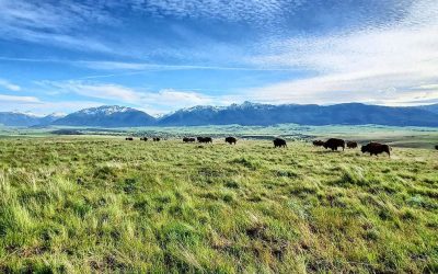
Updated August 2026: Amanda’s Trail is both a steep Oregon Coast hike and a memorial route. It passes through the forest between Yachats and Cape Perpetua, crosses the 142-foot Amanda Creek suspension bridge and reaches the Amanda Gathering Area, where visitors are asked to reflect on Amanda and the forced removal of Indigenous people from their homelands.
The U.S. Forest Service describes the full trail from Cape Perpetua to Yachats Ocean Road as 2.9 miles one way and moderate to difficult. This guide preserves Amanda’s history while adding clearer route, fee and safety information. See more nearby options in our Oregon hiking guide, Oregon Coast guide and Yachats guide.
History Of Amanda's Trail
Today we often forget that many of the public lands owned by Oregon were taken forcibly from the people that once owned them: the native people of Oregon who lived here before settlers arrived. Oregon is well known for it's gorgeous hiking trails and beautiful state parks, but some of these areas also represent a dark history of forced relocation of the native peoples that lived here. Amanda's Trail in the Cape Perpetua Scenic Area near Yachats is a reminder of the people who were forced to suffer hardship as they were forcibly removed from their homes and made to relocate.
Amanda's Trail is a 5.9 mile stretch of trail on what was once the Coast Indian Reservation, which you should most definitely read about on the Oregon Encyclopedia page. The reservation, established in 1855 was supposed to be a new permanent "forced" residence of local native Americans who had been removed from their lands. "Exterminators," as some volunteer militias were known, also decided to forcibly relocate other tribes from southwest Oregon to this location as well. Just 20 years later the people living on this reservation would once again be removed and forced to another location so settlers could have this land too.
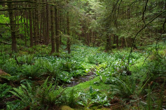
For years, people ran away from the Coast Indian Reservation, where life was hard, abuse was rampant, and people were starving. The US Military was tasked with tracking these people down and marching them back to the reservation. One of these people that was marched back was a 50 year old blind Coos woman named Amanda. In 1864 she was married to a white settler and living with their young daughter near Coos Bay 50 miles away from the reservation. She was 'caught' by the military and forced to leave her family and home behind, and was then marched back to the reservation barefoot. At the time there was no trail to follow, and walking the route was difficult and dangerous.
The trip was so hard that those in charge proposed that the group leave all the women behind to die because they were moving too slowly and were only going 10 miles per day. At one point the group passed over sharp basalt rocks, and Amanda, barefoot, cut her feet up. The group and Amanda continued onward, Amanda leaving a trail of blood as they walked. It was a 10 day trek of misery that finally led the group to the Coast Indian Reservation. This was a scene that would play out again and again during the 20 year life of the reservation.
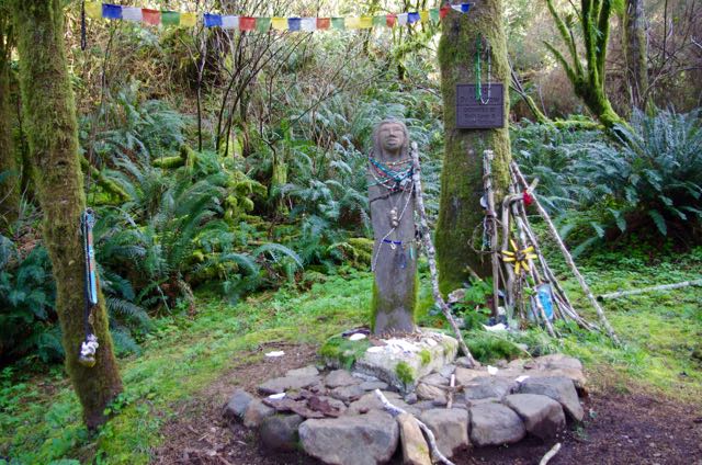
Fast forward 120 years later to 1984, when a trail planner named Loyd Collett learned about the story of the area and of 50 year old Amanda, a history that had mostly been forgotten by the people now living in the area. Collett proposed that a new trail he was planning be named after Amanda and dedicated to the memory of all the Native Americans who had been marched along this stretch of the coast.
Amanda's trail opened to the public for use in 1998. Today, hiking this trail you'll find a statue dedicated to Amanda in Amanda Grotto.
Hiking Amanda's Trail And The New Suspension Bridge
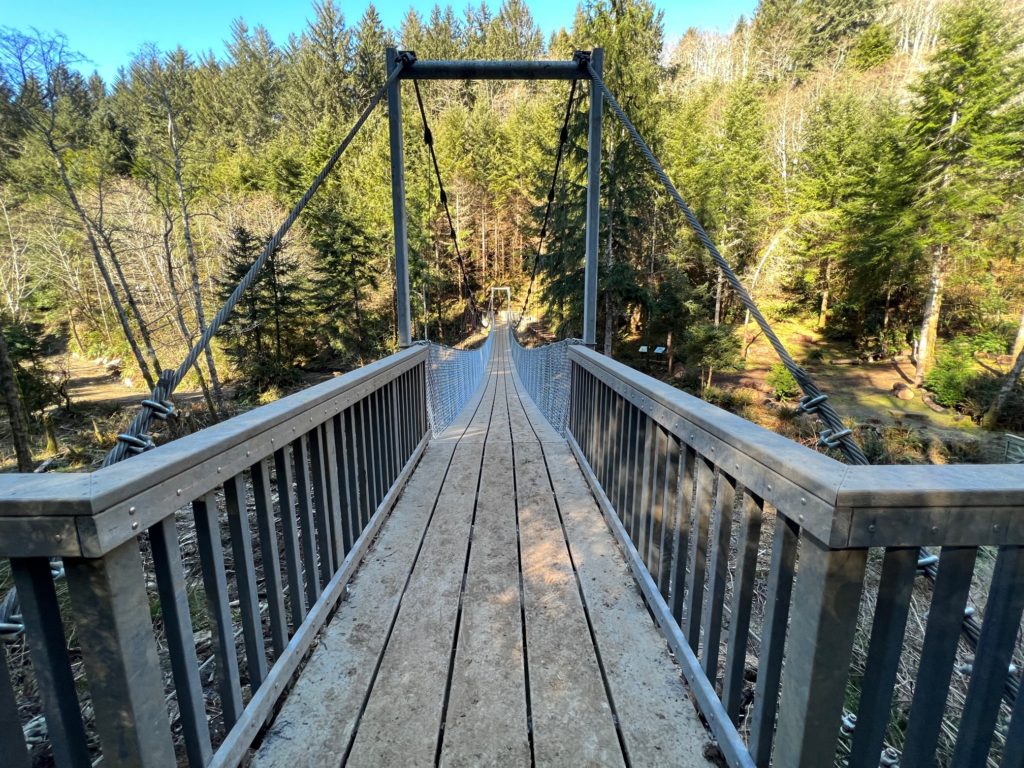
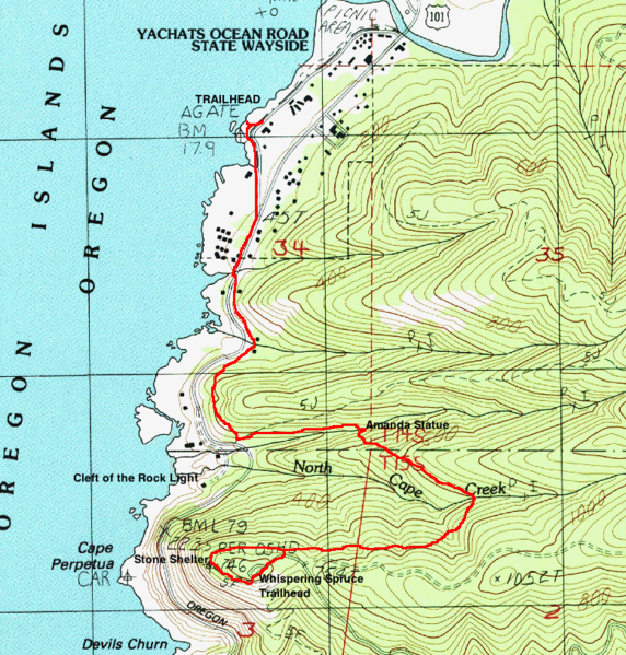
The full Amanda’s Trail is 2.9 miles one way between the Whispering Spruce Trail junction at Cape Perpetua and Yachats Ocean Road, making an out-and-back close to 5.8 miles. The Forest Service rates it moderate to difficult. Expect steep grades, roots, mud and a substantial climb on the return. A shorter visit to the Amanda Gathering Area may be possible from the Yachats side, but confirm the current access point and trail status before choosing that option.
Amanda’s Trail quick facts
- Full route: 2.9 miles one way; roughly 5.8 miles out and back.
- Difficulty: Moderate to difficult.
- Terrain: Steep coastal forest, mud, roots and suspension bridge.
- Dogs: Keep dogs leashed and controlled.
- Fee: The Cape Perpetua day-use area charges a parking fee or accepts qualifying recreation passes; other access points may differ.
Please note, dogs are allowed on this trail, but must be kept on a leash.
The 142-foot suspension bridge over Amanda Creek opened in 2022. It is distinct from the bridge at Drift Creek Falls. Some movement is normal on a suspension bridge, but cross one person or group at a time as posted, keep children close and follow any current closure or capacity signs.
Parking fees depend on where you begin. The Cape Perpetua day-use area charges a fee or accepts qualifying recreation passes. Confirm the current amount and accepted passes on the official Cape Perpetua Scenic Area page; do not assume every Amanda’s Trail access point has identical parking rules.
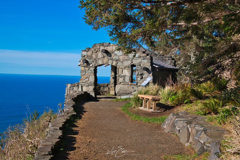
For the full south-to-north route, park legally at Cape Perpetua, connect from the Whispering Spruce Trail and follow Amanda’s Trail toward Yachats Ocean Road. A point-to-point trip requires a planned shuttle; otherwise, remember that every downhill mile must be climbed on the return. Check the official Amanda’s Trail status and Siuslaw National Forest alerts immediately before leaving.
Rain can make the trail very slick, and storms can bring down limbs or trees. Carry a downloaded map, traction, rain protection, water and the Ten Essentials. Treat the gathering area as a memorial: speak quietly, leave offerings and structures undisturbed, and pack out everything you bring.
Continue planning with our Oregon hiking guide and trail map and our complete Oregon Coast guide.