
Spencer Butte Hike: Main Trail, West Trail & Summit Guide
Our original Eugene summit story, with photography and local notes that sit beside this planning page.
Read the guide
Willamette Valley and Eugene · Near Eugene
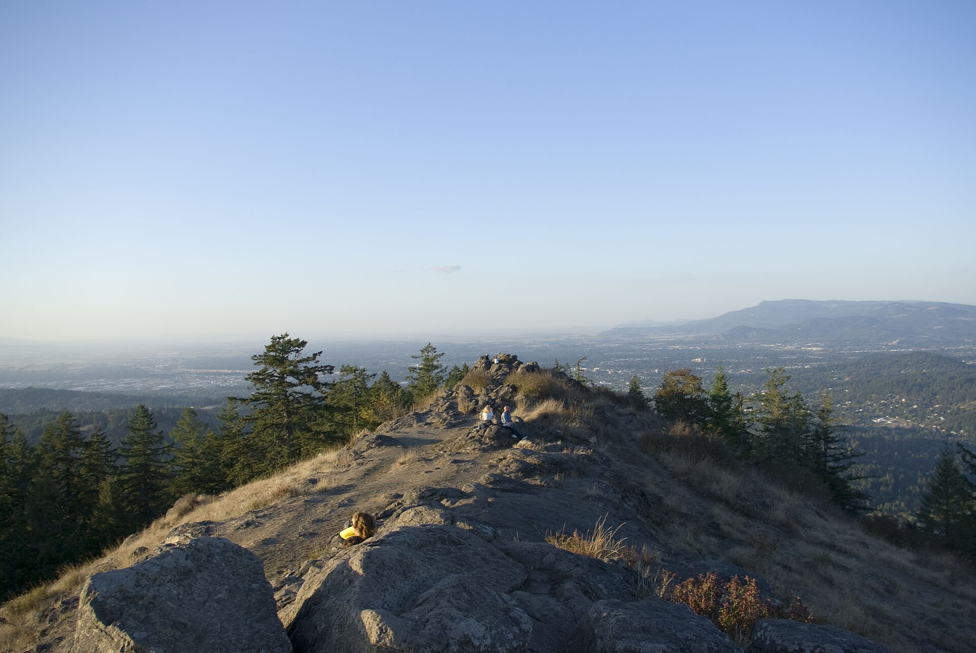
Spencer Butte is Eugene’s high point, a rocky summit in the Ridgeline Park system with forest, stone stairways, and open views across the Willamette Valley. The City of Eugene park page lists the summit at 2,058 feet; the May 2022 Ridgeline brochure lists 2,054 feet. Either way, this is the city’s landmark day hike, not a remote Cascade climb. The featured route is the Main Summit Trail from the South Willamette Street trailhead. The official brochure calls that segment strenuous and 1.1 miles one way, which is 2.2 miles round trip if you return the same way. Do not mix that figure with the steeper West Trail or a longer Ridgeline connection.
The place
Spencer Butte is Eugene’s high point, a rocky summit in the Ridgeline Park system with forest, stone stairways, and open views across the Willamette Valley. The City of Eugene park page lists the summit at 2,058 feet; the May 2022 Ridgeline brochure lists 2,054 feet. Either way, this is the city’s landmark day hike, not a remote Cascade climb.
The featured route is the Main Summit Trail from the South Willamette Street trailhead. The official brochure calls that segment strenuous and 1.1 miles one way, which is 2.2 miles round trip if you return the same way. Do not mix that figure with the steeper West Trail or a longer Ridgeline connection.
From the signed lot, the Main Trail climbs through Douglas-fir forest and wildflower openings before the stone steps on the final approach. The city built those stairs to reduce scrambling and protect the summit’s rare rocky habitat. Stay on the two designated summit trails. Shortcuts damage plants that do not recover quickly.
The West Trail is a separate, more difficult option with exposed bedrock that can be slick when wet. This page does not treat a Main-plus-West loop as the featured route. If the main lot is full, do not invent parking on Willamette Street. Parks are closed from 11 p.m. to 6 a.m.
This planning page is the trail-facts URL. That Oregon Life’s Spencer Butte article remains the longer local story and photography.
From our Oregon archive: Read That Oregon Life’s full story about this trail.
Trailhead map
Coordinates: 43.991500, -123.099400 · Open in Google Maps
The coordinates identify the documented public parking area or trailhead—not a summit, waterfall, or off-trail feature.
Know before you go
No star ratings
The moderate rating reflects 2.2 mi round trip with more effort, uneven tread, or access rules than a short developed walk. Match the group to the official route, not just the number on the card.
Protect the place
Trails, meadows, and viewpoints wear down quickly when people cut switchbacks, wander off the route, or leave waste behind. Keep this outing on durable, legal ground.
From our Oregon archive
Continue planning with That Oregon Life’s existing trail reporting, photography, regional guides, and nearby trip ideas.
Our original Eugene summit story, with photography and local notes that sit beside this planning page.
Read the guideMore in the region
Official City of Eugene park page and May 2022 Ridgeline Trail Map brochure reviewed September 1, 2026.