McKenzie River Trail: Hiking, Biking, Camping & More
Our complete corridor story, including Sahalie, Koosah, Clear Lake, and Tamolitch Blue Pool in the larger 26.5-mile trail.
Read the guide
Willamette Valley and Eugene · Near McKenzie Bridge
The McKenzie River National Recreation Trail is a 26.5-mile linear corridor with 11 marked trailheads, not a round-trip day-hike itinerary. Eugene, Cascades & Coast describes a 1,750-foot gain as the trail passes lava, lakes, waterfalls, cold-water creeks, and old-growth forest. Plan a documented section first. Arrange a shuttle if you intend to walk a long stretch. The map pin on this page is the Upper McKenzie River Trailhead near Clear Lake, a planning anchor, not a promise that you will hike the entire corridor from that lot.
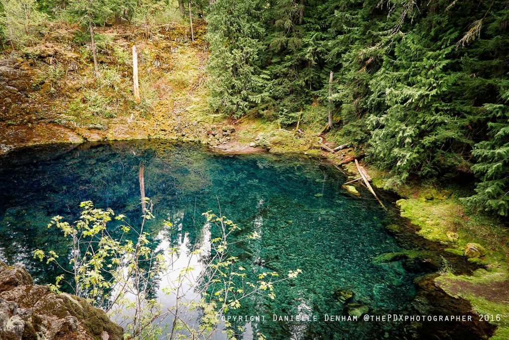
The place
The McKenzie River National Recreation Trail is a 26.5-mile linear corridor with 11 marked trailheads, not a round-trip day-hike itinerary. Eugene, Cascades & Coast describes a 1,750-foot gain as the trail passes lava, lakes, waterfalls, cold-water creeks, and old-growth forest.
Plan a documented section first. Arrange a shuttle if you intend to walk a long stretch. The map pin on this page is the Upper McKenzie River Trailhead near Clear Lake, a planning anchor, not a promise that you will hike the entire corridor from that lot.
The upper lava-and-waterfall country is more technical than the lower river miles. Mountain bikes share the trail. Sharp lava can be hard on dogs’ feet. Parking fees or a Northwest Forest Pass may apply at individual trailheads; there is no single quota permit for the whole corridor.
Snow, wildfire, bridge work, and construction can close individual sections. Do not mix Tamolitch Blue Pool, Sahalie, or Koosah mileages into this corridor figure. Those are separate featured routes in the waterfall and hiking guides.
This planning page is the trail-facts URL. The That Oregon Life McKenzie River Trail article remains the longer corridor story.
From our Oregon archive: Read That Oregon Life’s full story about this trail.
Trailhead map
Coordinates: 44.394444, -122.001667 · Open in Google Maps
The coordinates identify the documented public parking area or trailhead—not a summit, waterfall, or off-trail feature.
Know before you go
No star ratings
The moderate rating reflects 26.5 mi end to end with more effort, uneven tread, or access rules than a short developed walk. Match the group to the official route, not just the number on the card.
Protect the place
Trails, meadows, and viewpoints wear down quickly when people cut switchbacks, wander off the route, or leave waste behind. Keep this outing on durable, legal ground.
From our Oregon archive
Continue planning with That Oregon Life’s existing trail reporting, photography, regional guides, and nearby trip ideas.
Our complete corridor story, including Sahalie, Koosah, Clear Lake, and Tamolitch Blue Pool in the larger 26.5-mile trail.
Read the guideMore in the region
Eugene, Cascades & Coast McKenzie River National Recreation Trail listing reviewed September 1, 2026.