Updated August 2026: The Hobbit Trail is a short, mossy Oregon Coast path north of Florence that descends through Sitka spruce and rhododendrons to Hobbit Beach. The official 2026 park map lists the beach-access segment at about 0.3 mile, but hikers can extend the outing south through the Heceta Head trail network to the lighthouse.
The trail is short; the planning is what matters. Parking beside Highway 101 is limited, crossing the highway requires care, the tread can be muddy and slick, and the beach has the same sneaker-wave and drifting-log hazards found throughout the Oregon Coast. Use this guide with our Oregon hiking guide and Oregon Coast guide.
brendangates / flickr
Choose your Hobbit Trail route
Hobbit Trail to Hobbit Beach
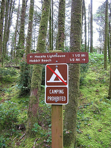
For the short version, take the signed Hobbit Trail from the Highway 101 access and descend about 0.3 mile to the beach. At the early junction, follow the beach-access direction rather than continuing toward Heceta Head. The return is uphill, and wet roots and mud can make the climb feel harder than the mileage suggests.
J We / Flickr
Hobbit Trail to Heceta Head Lighthouse
For a longer outing, follow the Oregon Coast Trail south toward Heceta Head. Oregon State Parks describes this side of the lighthouse trail as steep and winding, with roughly 600 feet of elevation gain and viewpoints above the ocean. Depending on the precise turnaround and side trails, plan on roughly 3.5 to 4 miles round trip from the Hobbit Trail access.
This is not simply a flat beach walk. Expect sustained climbing, narrow forest tread and slick footing after rain. Carry a downloaded copy of the official 2026 Heceta-Washburne trail map.
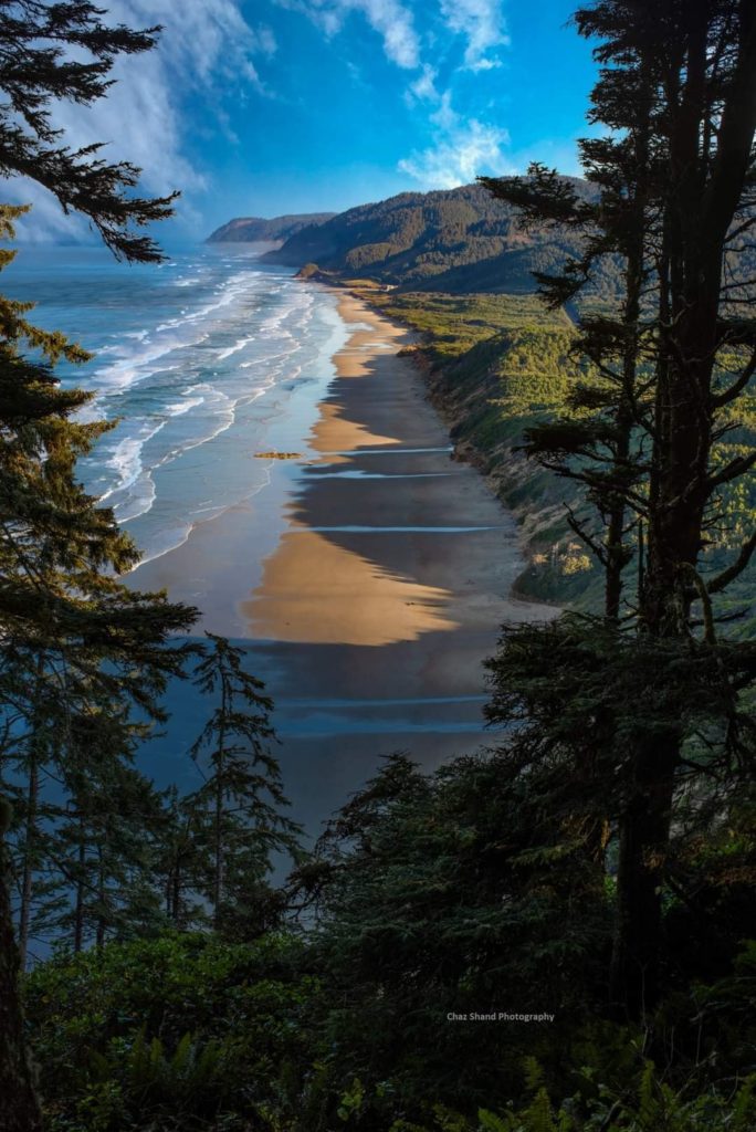
Image courtesy of Chaz Shand Photography
What the forest and beach are like
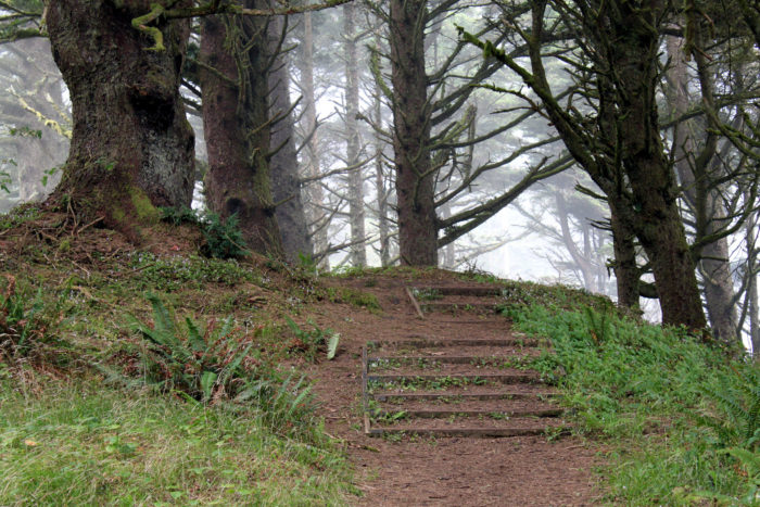
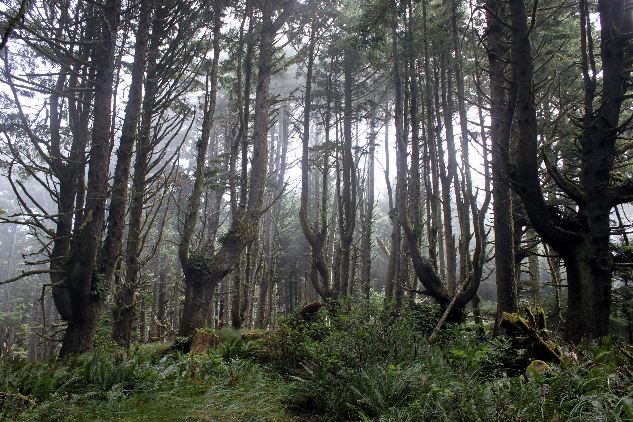
The signature experience is the vegetation tunnel near the beach: coastal shrubs arch over the path while moss and ferns crowd the forest floor. Children often love the storybook atmosphere, but adults should keep them close near Highway 101, slippery slopes and the surf.
At Hobbit Beach, check the tide before exploring around rocks or headlands. Stay off drift logs when waves are active, never turn your back on the ocean and leave shells, tide-pool animals, seaweed and other natural objects where you find them. This shoreline is within the Cape Perpetua marine protected-area system.
Visiting Heceta Head Lighthouse
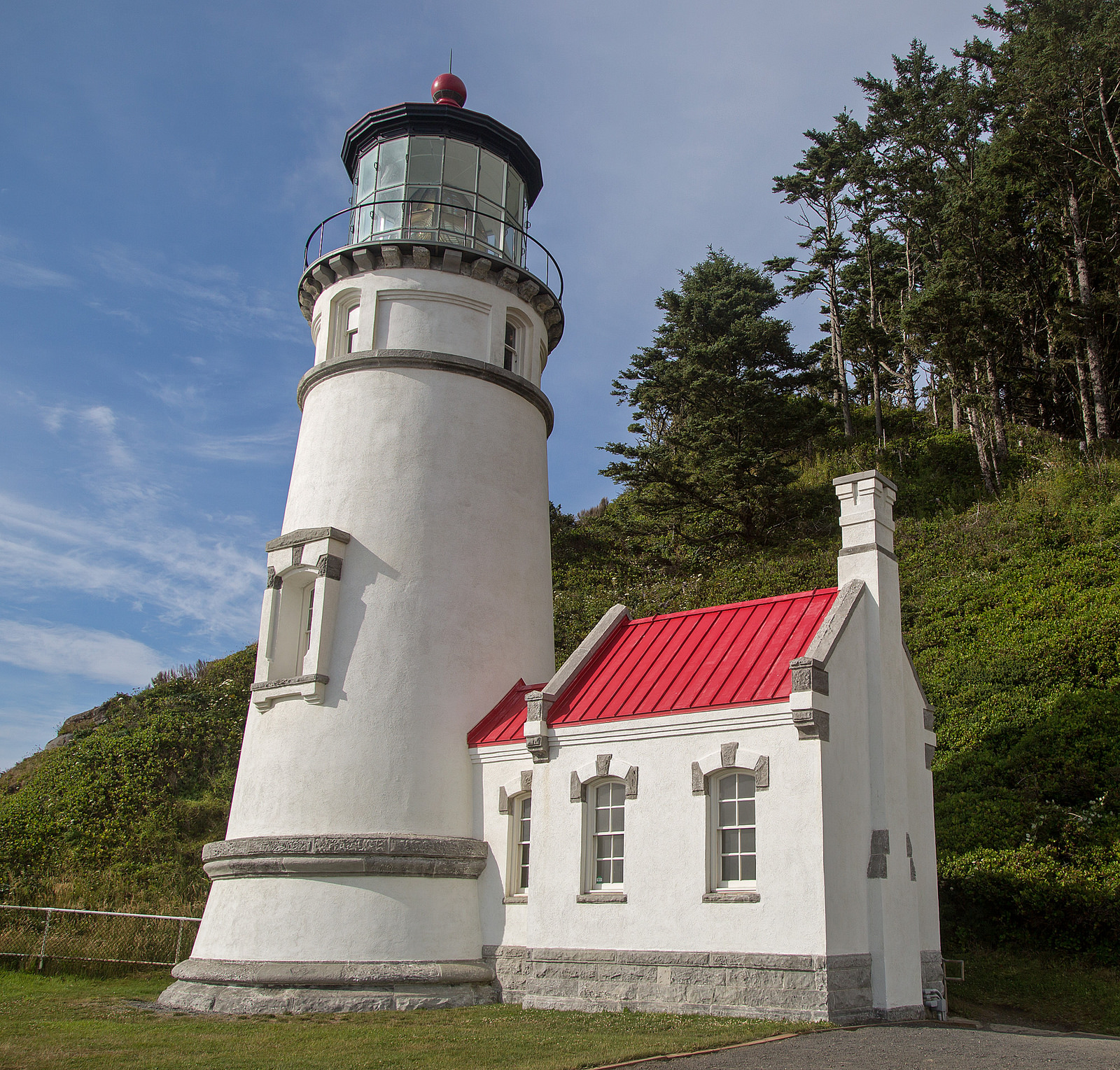
If you continue to Heceta Head, the lighthouse and cliffside viewpoint make a natural turnaround. Oregon State Parks currently allows public access to the lighthouse’s ground floor from 11 a.m. to 3 p.m. March through October and 11 a.m. to 2 p.m. November through February, weather and staffing permitting. Upper levels remain closed, and schedules can change, so check the official Heceta Head park page before planning around a tour.
Ralph Arvesen / Flickr
Parking and getting to the Hobbit Trail
The Highway 101 trail access is about 12 miles north of Florence and roughly 15 miles south of Yachats, between Heceta Head and Carl G. Washburne Memorial State Park. Use the signed public access and park fully outside the travel lane. Never stop or turn suddenly on the highway, and cross only when you have a clear view in both directions.
If the roadside area is full or a highway crossing does not feel safe, do not invent a parking space. The broader state-park trail network can also be approached from Heceta Head or Carl G. Washburne, where routes are longer and parking rules differ. Heceta Head’s main day-use area requires a state parks parking permit.
Hobbit Trail quick planning checklist
- Check the weather, tide and Oregon State Parks alerts before leaving.
- Wear shoes with traction; the trail can be muddy even when the highway is dry.
- Carry water and a downloaded map if continuing beyond Hobbit Beach.
- Keep pets leashed and under control where dogs are permitted.
- Leave the beach and marine life exactly as you found them.
For more nearby ideas, explore our Florence travel guide, Oregon Coast guide, and collection of Oregon Coast hikes.