Important access update
Check the official trail report before driving to Butte Creek Falls
Plan before you drive
- Obey every closure, gate, and posted restriction. Do not create a route around a damaged or closed segment.
- Expect gravel forest roads and limited service; carry offline directions and turn around if road conditions exceed your vehicle or comfort level.
- Keep well back from cliff edges and wet basalt, especially with children or dogs.
The two waterfall stops
Butte Creek Falls
Upper Butte Creek Falls
Reliable alternatives nearby
South Falls
Majestic Falls
The original That Oregon Life field guide
Updated August 2026: Butte Creek Falls and Upper Butte Creek Falls form a short forest outing near Scotts Mills, but access has been disrupted by wildfire and windstorm damage. Some trails and roads in the Butte Creek Falls area remain closed. Check the Oregon Department of Forestry trail-status page before leaving, obey every gate and closure, and do not try to improvise a route around blocked roads.
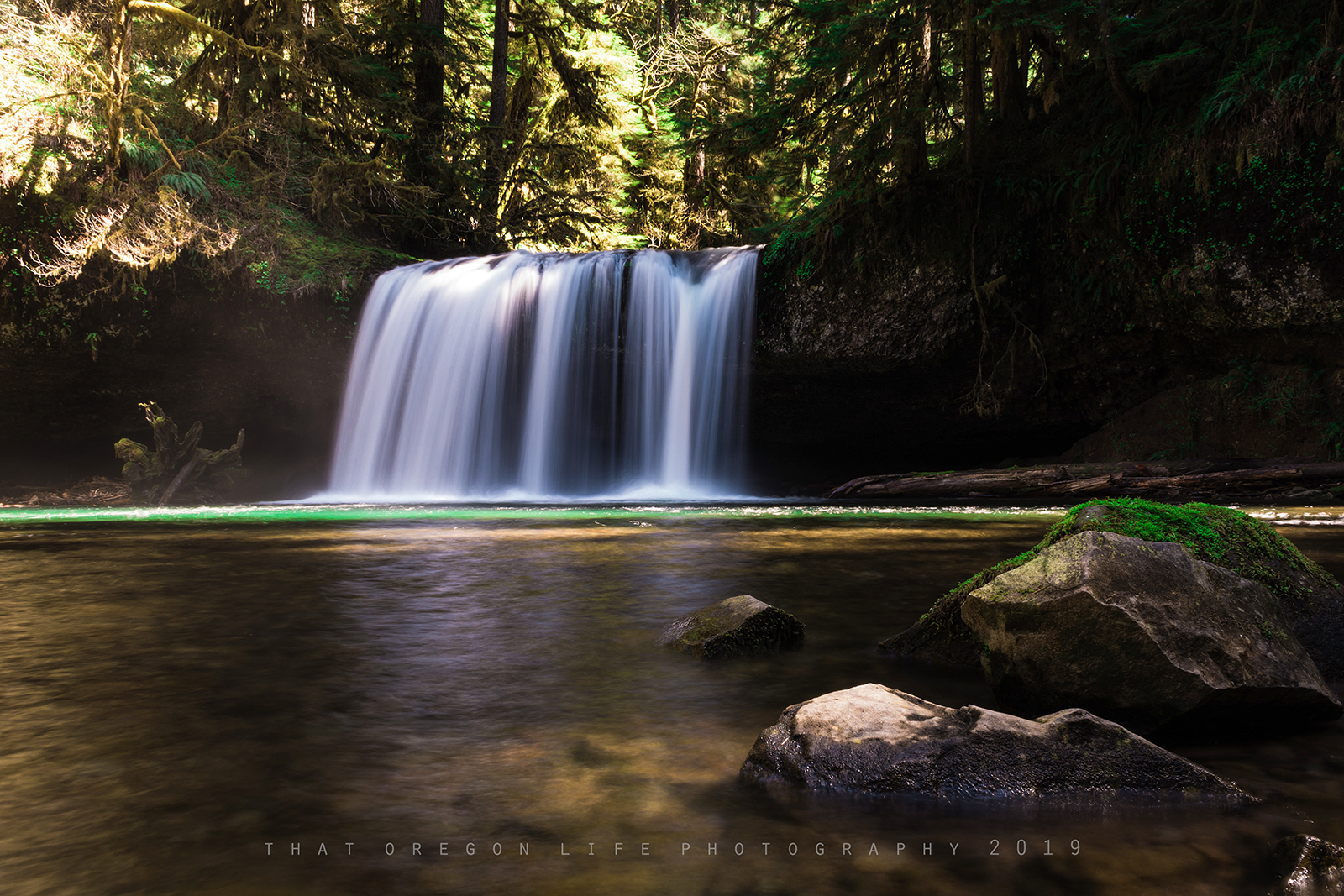
When the authorized route is open, the outing links two waterfalls in roughly a mile of hiking through the Santiam State Forest. Use this guide with our dedicated pages for Butte Creek Falls and Upper Butte Creek Falls, then explore more options in our Oregon hiking guide and Oregon waterfall guide.
Upper Butte Creek Falls
Upper Butte Creek Falls drops about 20 feet over a basalt ledge into a shaded pool. Enjoy it only from the established trail and viewpoints. Wet rock, steep ledges and cold water make scrambling behind or near the falls dangerous, and an apparent path is not proof that an area is open or safe.
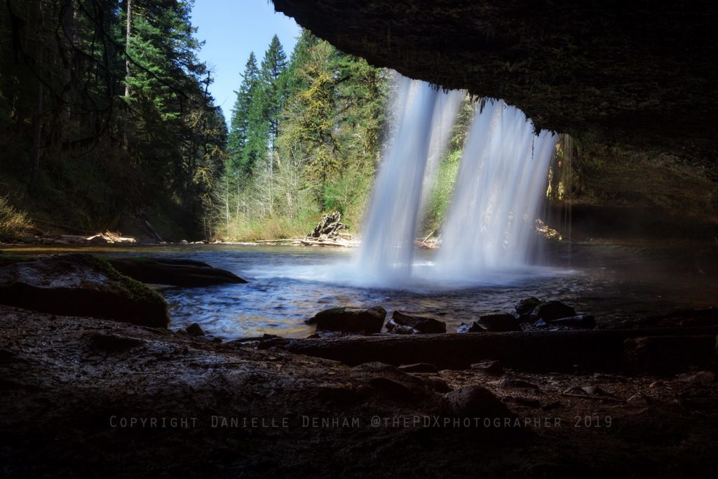
Walking behind Upper Butte Creek Falls (Danielle Denham / thepdxphotographer)
The taller waterfall, downstream, Butte Creek Falls, is not far and absolutely breathtaking.
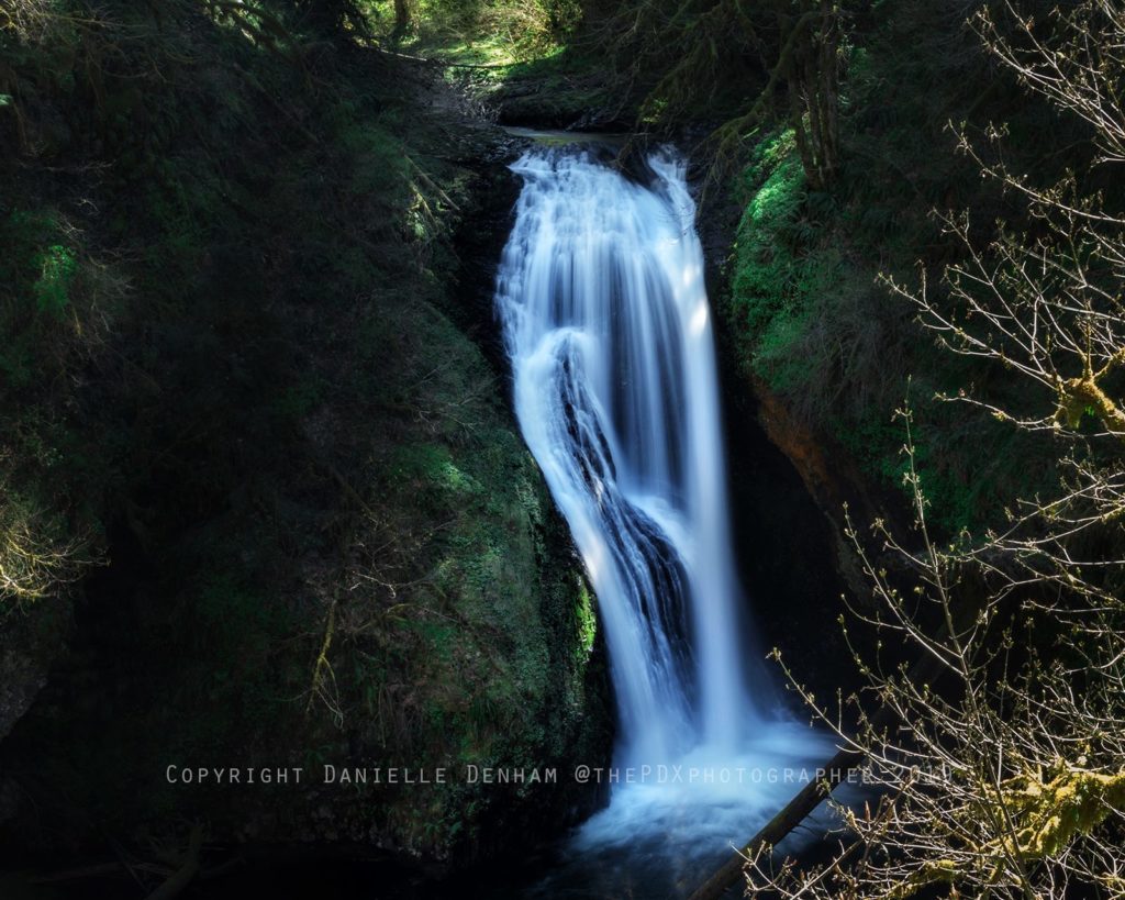
Lower Butte Creek Falls (Photo by Danielle Denham / thepdxphotographer)
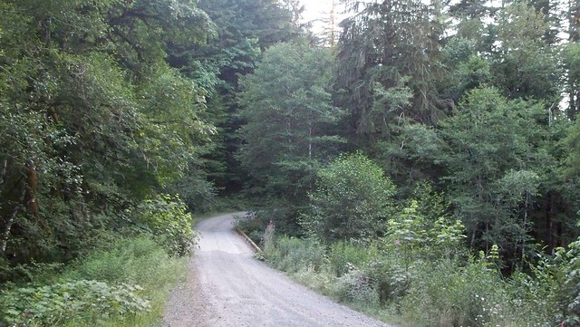
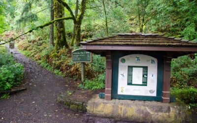
The road to Butte Creek Falls above Scotts Mills (wakiwon / flickr)
Facilities, road conditions and trail maintenance can change with restoration work. Do not assume restrooms, campground facilities or the full loop are available; verify the current status with ODF before the drive.
Spring runoff can make the waterfalls especially powerful, while autumn brings color and slick leaves. In every season, stay back from canyon edges and keep children close.
Plan your Butte Creek Falls hike
- Access: Check ODF first; some Butte Creek Falls-area trails remain closed.
- Distance: Roughly 1 to 1.1 miles when the authorized waterfall route is fully open.
- Difficulty: Short, but not risk-free; expect uneven tread, steep grades and exposed drop-offs.
- Roads: Forest-road conditions can change. Download official directions before leaving and do not rely on old coordinates.
- Services: Cell coverage and facilities are limited. Carry water, layers and a basic emergency kit.
The compact route passes through a lush forest and reaches dramatic viewpoints above the falls. Short mileage does not make the cliffs harmless: remain on the maintained tread, avoid wet rock near the brink and turn around if a closure or damaged section blocks the route.
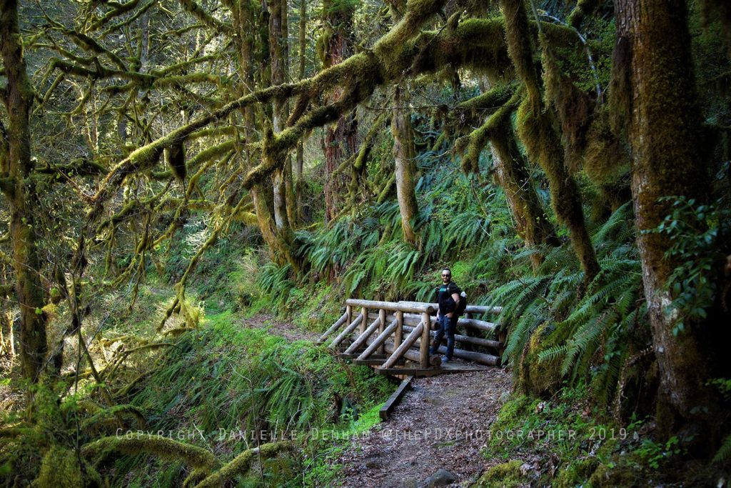
Photo by Danielle Denham (thepdxphotographer)
Families may enjoy the short distance when the trail is open, but adults should keep children within arm’s reach near every canyon edge and waterfall viewpoint.
Current access and directions
The 2019 Crooked Finger Road directions and coordinates previously published here are no longer reliable and have been removed. Use the current route and status published by the Oregon Department of Forestry. If a gate, road or trail is closed, turn around rather than routing around it.
Guidebooks that cover this hike
- Wild in the Willamette edited by Lorraine Anderson with Abby Phillips Metzger
- Afoot & Afield: Portland/Vancouver by Douglas Lorain