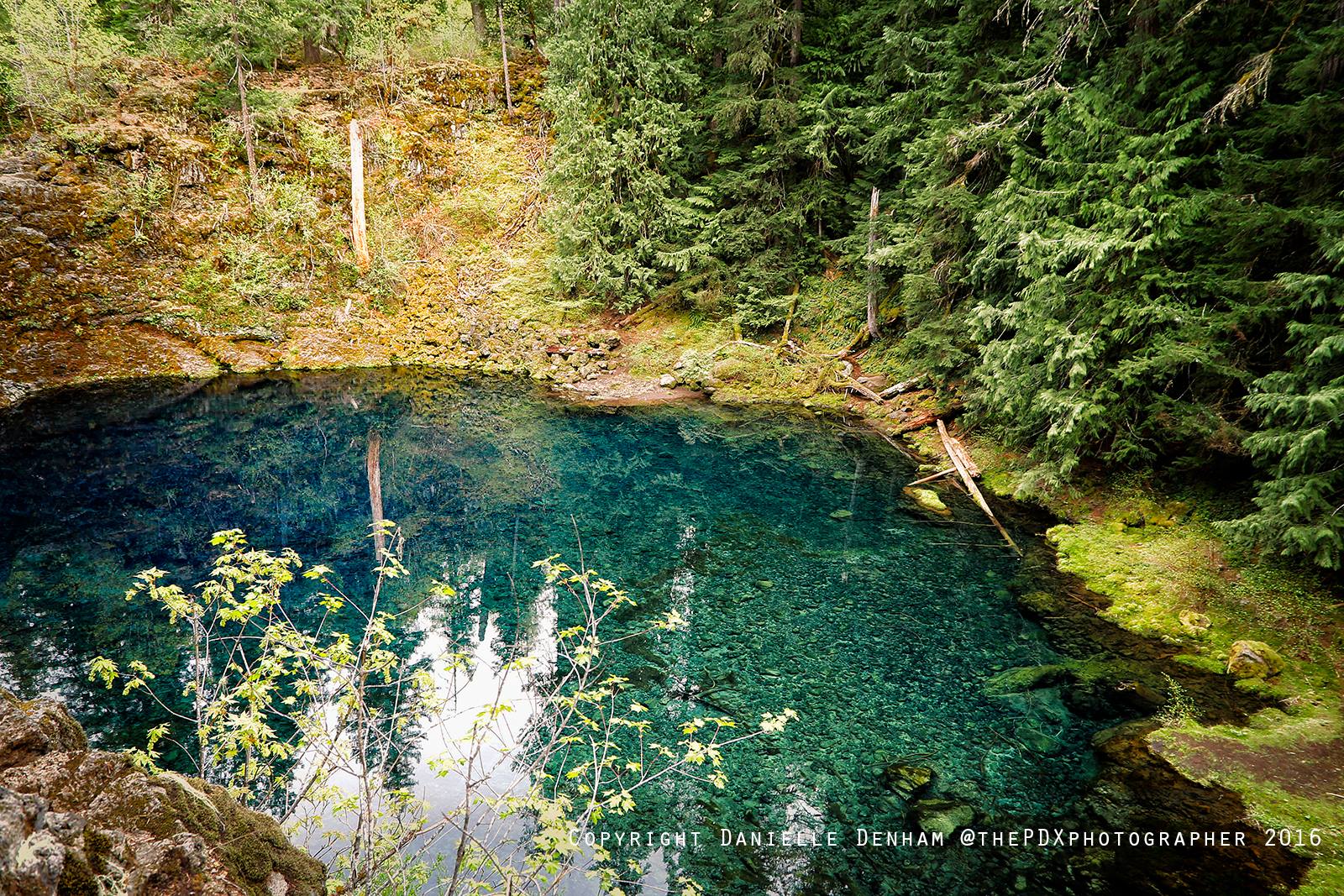
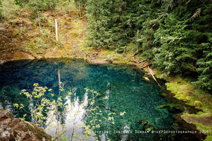
Tamolitch Blue Pool is truly a natural wonder along the Mckenzie River Trail (Photo By Danielle Denham / That Oregon Life)
I grew up in Thurston at the east edge of Springfield, and Highway 126 has long been one of my favorite ways into the Cascades. The McKenzie River National Recreation Trail follows roughly 26 miles of this corridor through old-growth forest, lava flows, clear water and waterfall country. It is best understood as a point-to-point trail with several very different sections—not one uniformly easy day hike.
Updated August 2026: This guide now separates the full route from the shorter outings most visitors actually take. Use the Oregon Hiking Guide to compare trails, and check current Forest Service alerts before choosing a trailhead. Work around Tamolitch Blue Pool and other trail infrastructure can change access, parking and routing.
McKenzie River Trail quick facts
- Full route: approximately 26 miles, generally traveled point to point or in sections
- Difficulty: varies sharply; upper lava sections are technical, while some lower river sections are gentler
- Shared use: hikers and mountain bikers use the corridor; yield carefully and expect limited cell service
- Before leaving: confirm trail, bridge, road, fire and campground status with the land manager
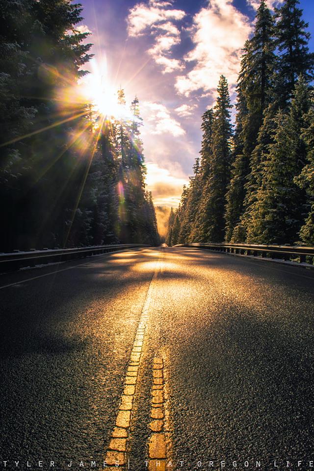
A Complete Guide To The McKenzie River Trail
The highway leads to central and eventually eastern Oregon, with the entry point to the highway just on the edge of Springfield where I grew up. Before being annexed by Springfield, Thurston was formerly an unincorporated community with its own post office. The earliest land claims in the Thurston area by white settlers were in 1851, according to Wikipedia.
Home to eight wilderness areas, including the Three Sisters Wilderness and Mt. Jefferson Wilderness, the Willamette National Forest spans over 1.6 million acres. It's in this old-growth forest where you will find this cherished spot to hike and explore.
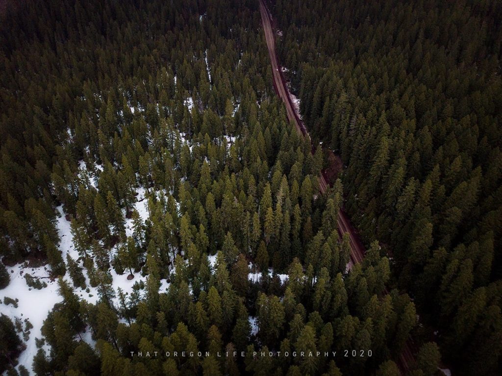
An aerial drone shot I captured of Highway 126, as I stood near Sahalie Falls.
From the start near Clear Lake, about 30 miles west of Sisters, Oregon, along the McKenzie River Highway, to where the trail finishes 26 miles south near McKenzie River Ranger Station at McKenzie Bridge, 53 miles east of Eugene, those looking to ride and hike can soak in some of the most incredible views and scenery in the state. If you are coming from Bend, you are looking at around 75 miles to the trail. This makes for around a good hour and a half drive.
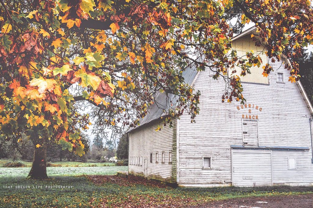
“Ye olde stomping grounds” Here's an autumn shot capturing a barn off High Banks (Thurston)
The Best Incredibly Beautiful Hikes On McKenzie River Trail
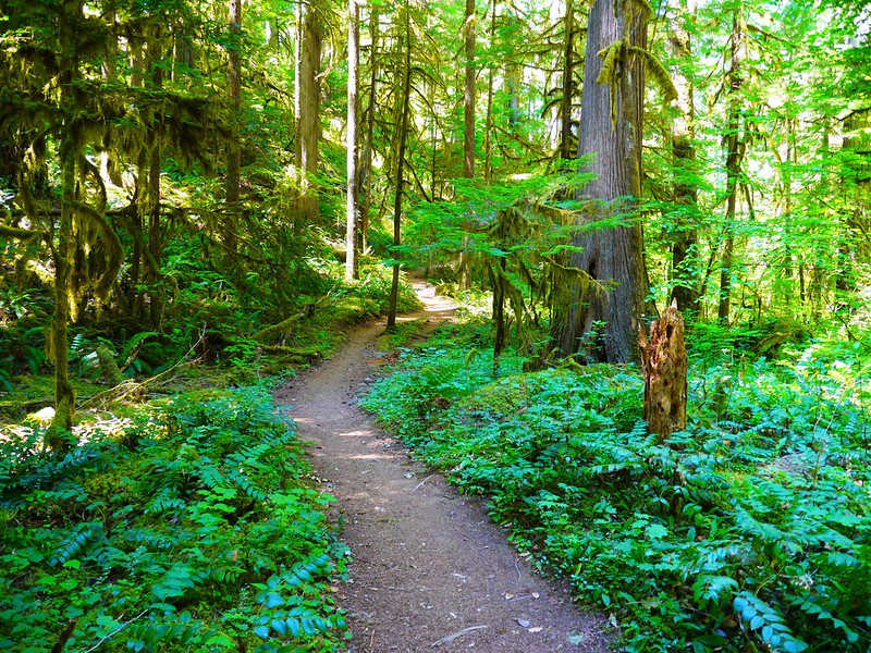
Venture with us as we go head deep into old-growth forests where magical waterfalls seemingly from fairy-tails exist, gorgeous riverside scenery, and crystal clear lakes that make for some of the most amazing places to explore in Oregon. Come see why this trail draws in hikers and mountain bikers from all over the world.
Named the #1 Trail in America by Bike Magazine, the Mckenzie River Trail earns the title. Once you have spent some time exploring here, it's not hard to see why Bike Magazine and her readers gave the McKenzie River Trail its prized #1 spot for best trails in America.
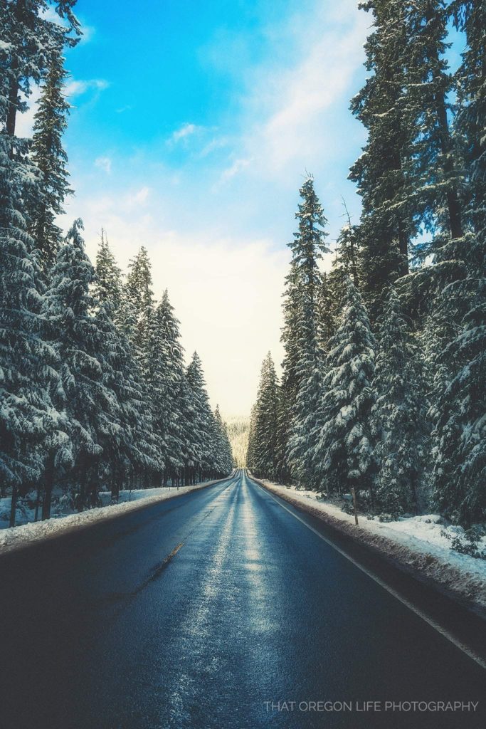
A gorgeous winter day on the Mckenzie Highway
While the trail following the river is 26 miles, the upper section is where you will find the most popular areas to explore. Blue Pool, Koosah Falls, and Sahalie Falls can all be found here. Being the trail is so extended, this may work in your favor as it is less populated.
The Route for The McKenzie River Trail
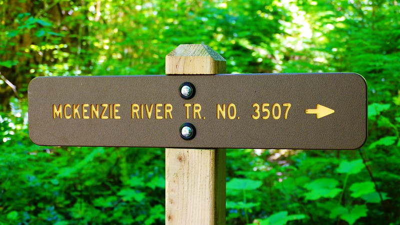
McKenzie River Trail No. 3507 / Photo by Rick Obst (Flickr)
Starting at the Upper Trailhead on an old lava flow originating from Mt. Washington and crossing a bridge over the McKenzie River.
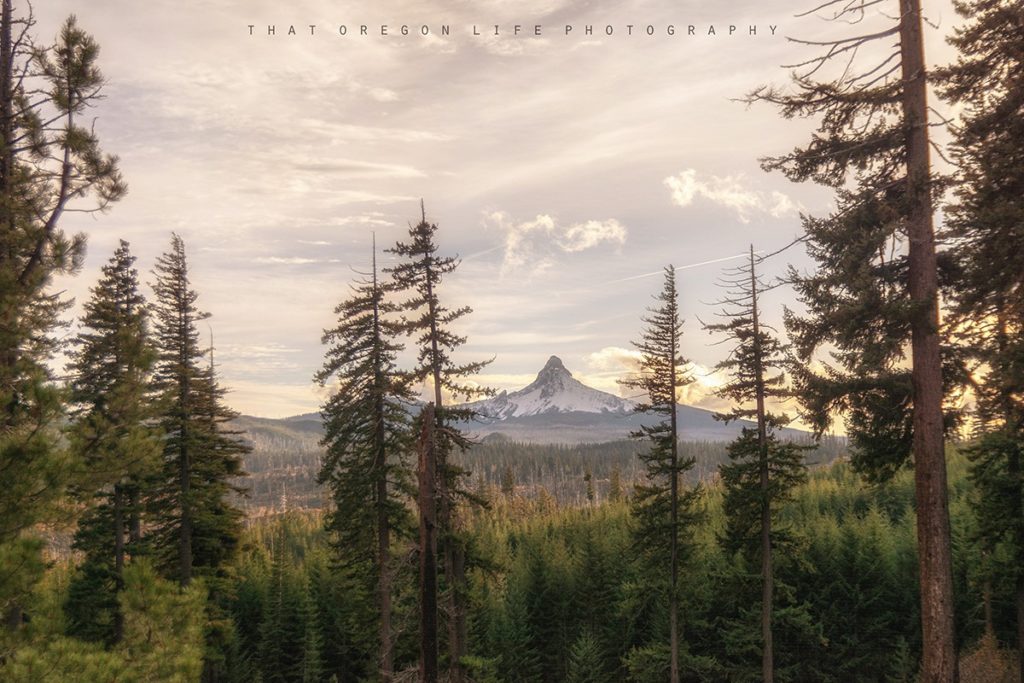
On the way home from Bend we pulled off the side of the Mckenzie Highway and captured this beautiful shot of Mount Washington.
You will follow the trail alongside the river's edge, down through the forest, eventually arriving at a great view of Clear Lake and the Great Spring, a primary source for the river.
Before you go (latest update)
August 2026 planning note: The 2021 Knoll Fire notice previously shown here is obsolete and has been removed. The Forest Service has active and recently completed work affecting portions of Trail #3507, including bridge replacement, tread maintenance, reroutes and the Tamolitch visitor-management project. Do not rely on an old screenshot or trailhead pin. Check the Willamette National Forest alerts, follow posted signs and choose a section that is confirmed open on the day of your trip.
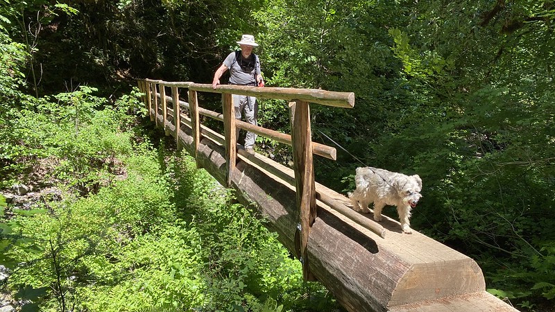
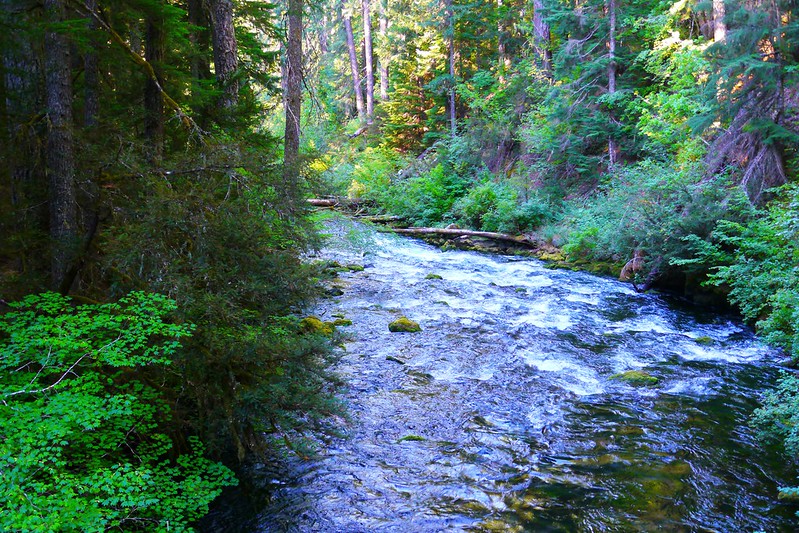
When you get past the southern end of Clear Lake, the path will have you venturing the turbulent river until you cross over Highway 126. The trail will cross the river on a footbridge, to its western side. When you have arrived at the western side of the McKenzie River, you will wind down past excellent viewpoints of Sahalie and Koosah Falls.
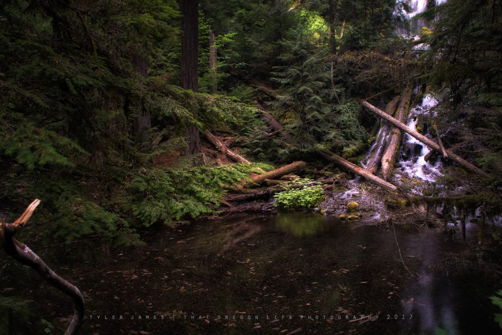
Near Carmen Reservoir, volcanic geology sends much of the McKenzie River underground before water reappears around Tamolitch Blue Pool. The cliff-edge viewpoints and striking water make this a signature stop, but Blue Pool is not a swimming or cliff-jumping destination. The water is dangerously cold, falls can be fatal and emergency response is difficult. Stay on the designated route and viewpoints.
From the pool, you can then follow the river until you reach the Trail Bridge Reservoir. At this point, the trail gets a bit easier, while crossing several streams and roads beside the forest. You will eventually come to an end just past the McKenzie River Ranger station at the Lower McKenzie River Trailhead.
Prime Spots Along The McKenzie River Trail
Clear Lake
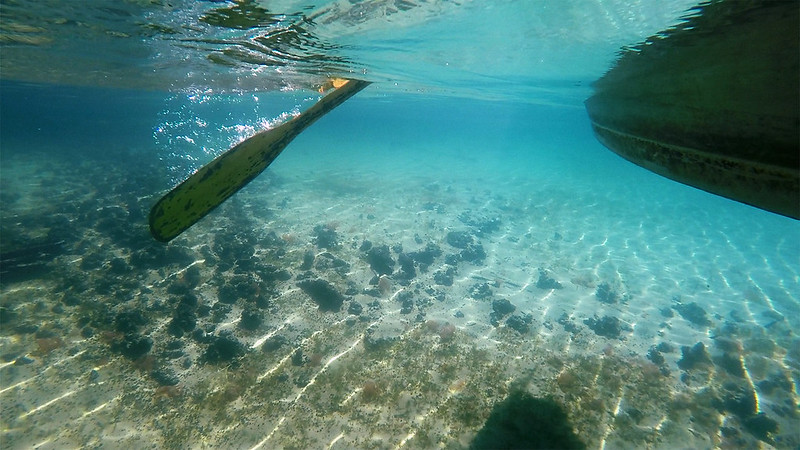
Whether you want to catch a fish or jump in a kayak, you could not pick a better place upriver. Clear Lake definitely earns its name, as you can actually see a petrified forest underneath.
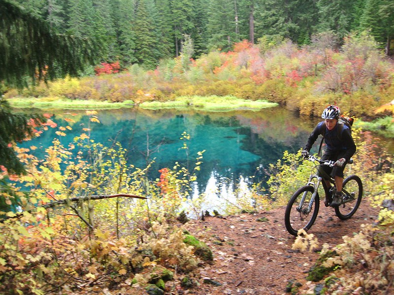
Cycling along the Mckenzie River Trail near Clear Lake (Photo by Dave H / Flickr)
Around 3,000 years ago a lava flow created a dam across the McKenzie River above Sahalie Falls and created this pristine spot known as Clear Lake.
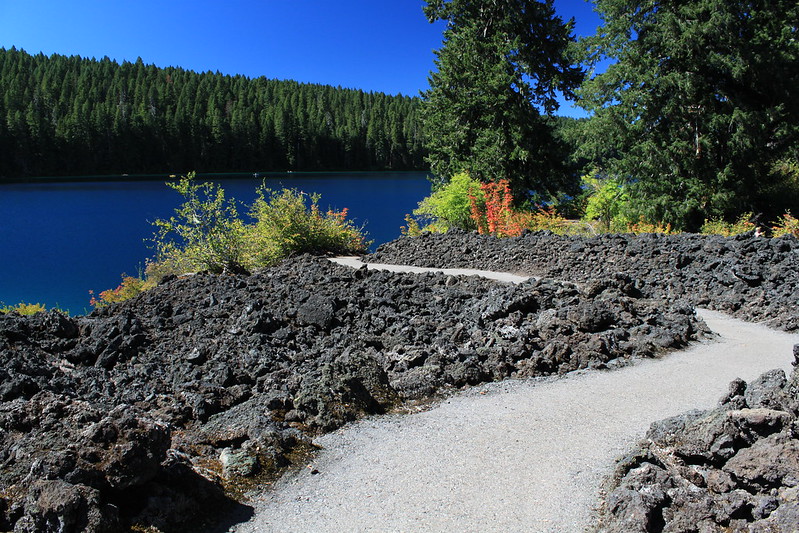
Clear Lake has another special place in my heart as it was the first place I ever caught a fish at around 8 years old.
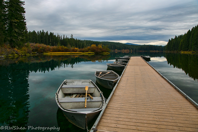
Because the water in the lake is filtered through lava rock and is fed mostly by a spring, the water is crystal clear and striking blue color.
How to get to Clear Lake
- From Eugene/Springfield take State Highway 126 east to McKenzie Bridge
- Continue east and north on State 126 about 23 miles
- Turn east at the sign to Coldwater Cove Campground (between mileposts 4 and 5)
- Follow the road to the boat ramp at the end of the campground
READ MORE: Clear Lake In Oregon So Clear You Can See A Petrified Forest at the Bottom
Tamolitch Blue Pool (Also Known As Tamolitch Falls)
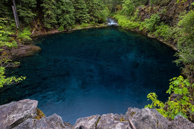
Over the last few years, Blue Pool, also known as Tamolitch blue pool not too far from Trail Bridge reservoir, has become increasingly popular with not only Oregonians but people who visit far and wide. Tamolitch blue pool, which means ‘tub' or ‘bucket' in Chinook, is a blue pool of pristine water that is so beautiful a photo cannot even capture its magnificence.
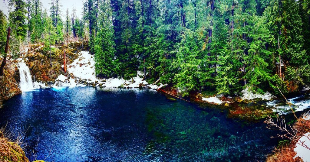
Image courtesy of Alli Carter / Facebook
Blue Pool Trailhead
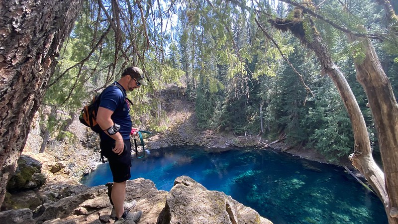
Blue Pool access changed during the 2026 Tamolitch visitor-management project. Use the current signed public parking area and trail rather than following older directions to an informal roadside trailhead. Read our dedicated Tamolitch Blue Pool guide for the current approach, safety information and official-source links.
The current hiking distance depends on the open, signed route and any construction detours. Expect uneven lava rock, roots and busy viewpoints; this is not a smooth riverside stroll. Verify the trailhead and route before departure instead of relying on the older 3.6-mile estimate formerly published here.
Longer McKenzie River Trail itineraries require more planning than simply adding mileage. Confirm bridge and trail status, arrange transportation for point-to-point travel, and avoid building a route around closed or displaced Tamolitch access.
RELATED: The Blue Pool Is One Amazing Place In Oregon
Sahalie and Koosah Falls
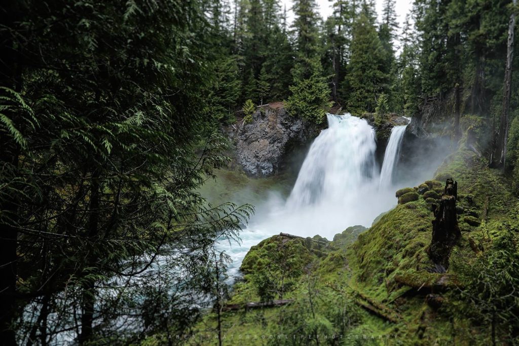
Sahalie Falls by That Oregon Life
Sahalie Falls and Koosah Falls are among the easiest major stops to combine along the upper McKenzie corridor. Short viewpoint walks can be much briefer than the full forest loop connecting the falls, so decide which outing you want before parking. Wet rock, roots and winter ice still require care even on the shorter option.
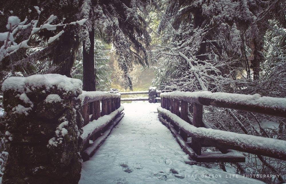
Sahalie in fact is a mere few minutes from the parking lot. Spectacular year-round, I always make it a point to stop here on any trip venturing into central Oregon.
Depending on the season, parking may be limited as this of course is a popular stop for travelers. If you really want your mind blown, check out this video of some extreme kayaking at Koosah Falls.
Both waterfalls are said to have been created due to the lava that poured down the Mckenzie River Valley roughly 3000 years ago.
Hot Springs Nearby
There are plenty of options when it comes to soaking in some natural hot springs near the Mckenzie River Trail. Just a few miles away you will find Belknap Hot Springs, one of our favorite places to soak while in the area. I especially recommend going during the winter season, as there's something extra special about soaking in the hot springs when it's cold outside. As shown in this map, you're only looking at around 4 miles from the trail to check out Belknap.
Belknap is open year-round and features two amazing mineral hot spring pools, along with acres of lovely gardens. Below is a link to Belknap, and there are of course many more hot springs to soak in. You can check this article out here for more hot springs to soak.
READ MORE: Belknap Hot Springs & Resort In Oregon Makes For The Perfect Getaway
Food and Services Along Highway 126
Verify before depending on a stop: Restaurants, stores and lodging along the McKenzie corridor can change ownership, hours or seasonal operations. The photographs and original recommendations below are part of this article’s archive; check each business directly before building a trip around it, and carry enough food, water and fuel for limited services.
Crescent Moon Café
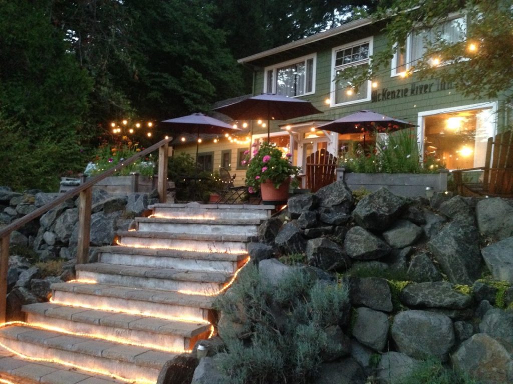
http://mckenzieriverinn.blogspot.com/
Crescent Moon Café appeared in the original version of this guide. Confirm its current operating status, location and hours directly before making it a planned stop.
Vida Cafe
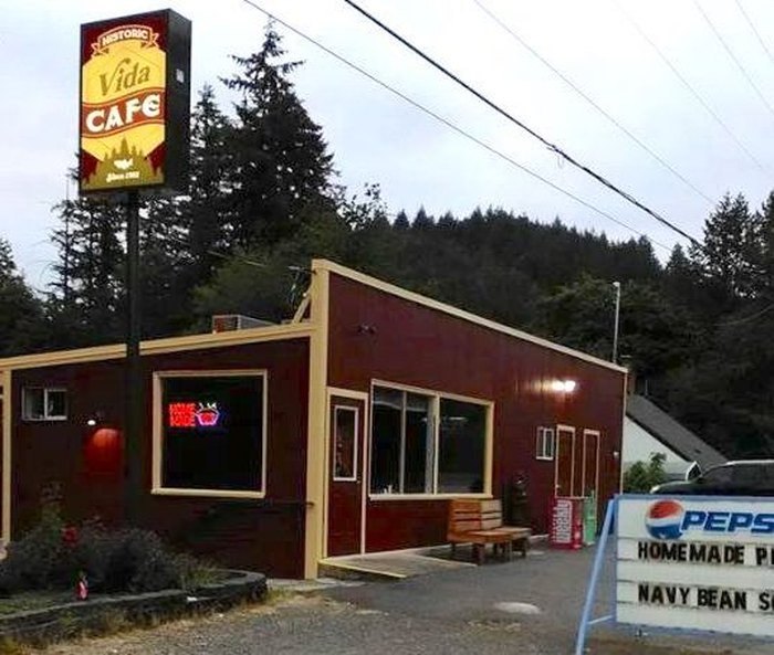
Vida Cafe has been part of our Highway 126 coverage, but dining hours and operators can change. Check current information directly before visiting, particularly early in the morning or outside the summer season.
Read more about the Vida Cafe here.
Stores Nearby
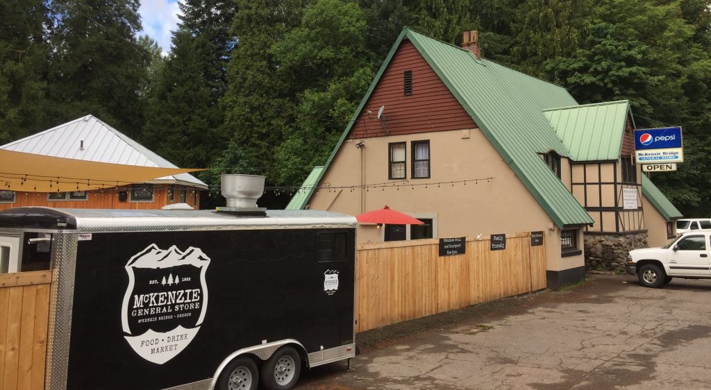
McKenzie General Store has historically served as a food and gathering stop in the corridor. Confirm current hours and services before relying on it for supplies.
Lodging Near The McKenzie River Trail
Cabins, lodges and vacation rentals are available throughout Vida, Blue River, Rainbow and McKenzie Bridge, but individual listings change frequently. Book through the property’s current official channel and confirm the address, cancellation policy, wildfire policy and check-in instructions.
McKenzie Station Pub/Inn at the Bridge
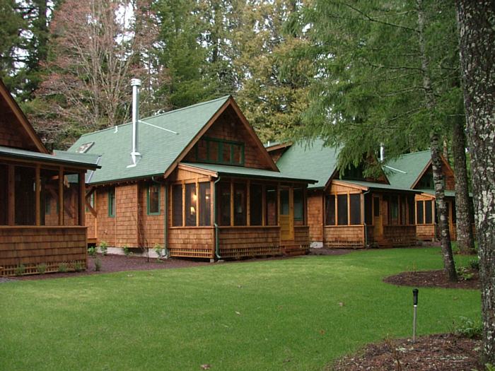
Inn at the Bridge appeared in the original guide. Verify its current name, operator, availability and direct booking information before planning a stay.
Property features and rental terms can change; rely on the current host or operator’s listing rather than this older description.
Renee's Log House was previously featured for larger groups. Confirm that the listing remains active and review its current capacity and access terms.
River Haven was previously included as a riverside option. Confirm the current operator, exact location and availability before booking.
This McKenzie Bridge rental appeared in the original guide. Verify that the listing is active and that its current terms fit your trip.
Mountain Biking The McKenzie River Trail
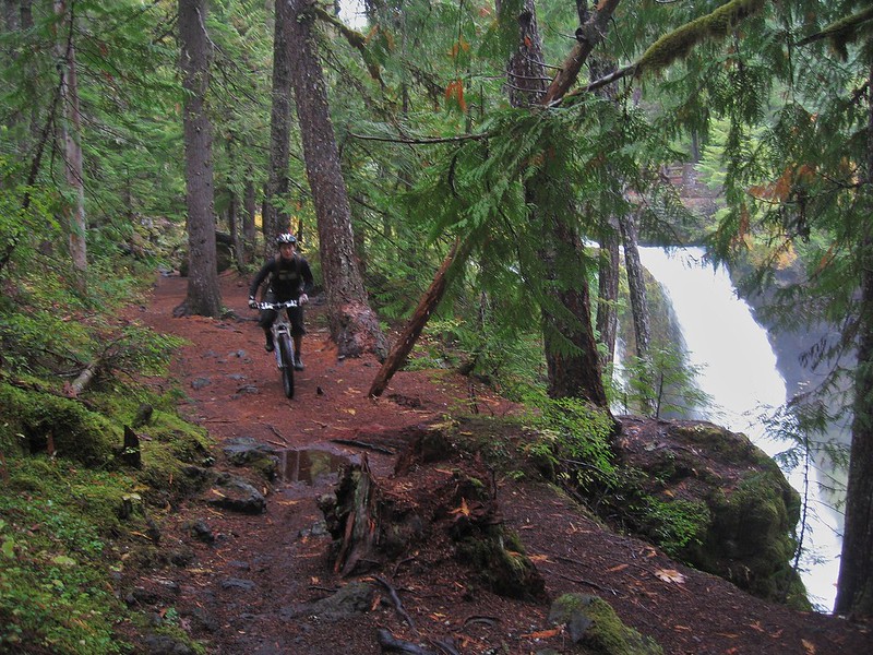
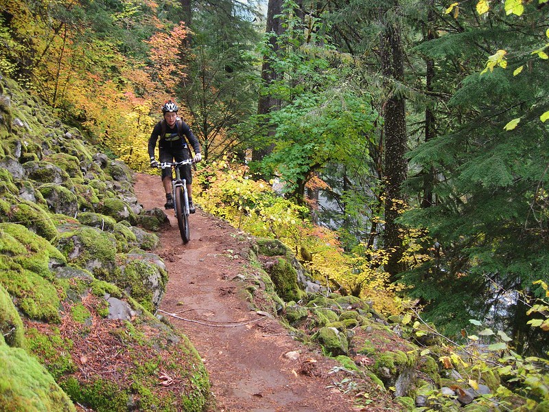
The McKenzie River Trail is nationally known among mountain bikers, but the full route should not be described as uniformly easy. The upper lava sections are technical and can punish riders who are unprepared for sharp rock, roots, exposure and mechanical problems.
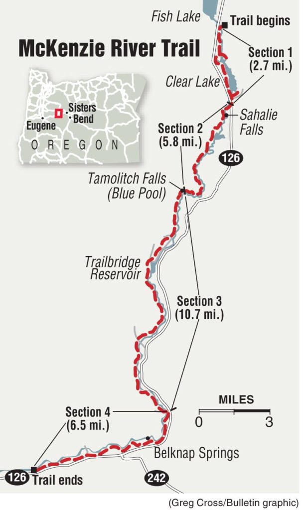
Map courtesy of Bend Bulletin
Choose a section that fits your skill and equipment, yield to hikers, control speed around blind corners and confirm current bridge or construction detours. Many riders use a shuttle for a point-to-point trip; arrange transportation before starting.
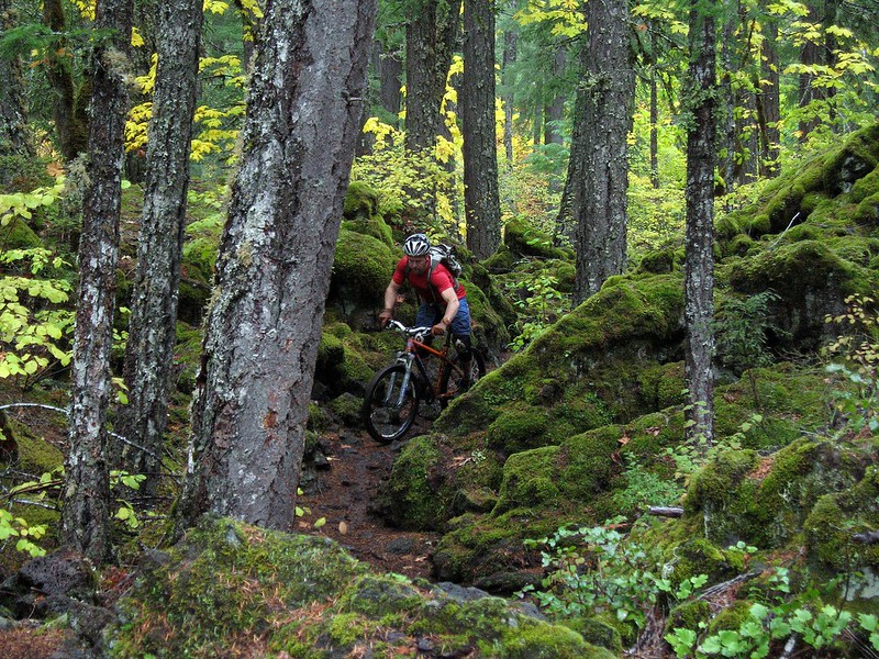
Snow, freeze-thaw damage, wildfire restrictions and construction affect the riding season. Conditions are often most practical during snow-free months, but there is no fixed annual opening date. Check current trail information immediately before the ride.
Get more information on biking the Mckenzie River Trail.
Camping on The McKenzie River Trail
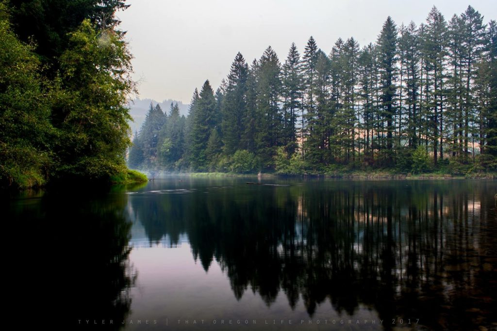
Secret fishing hole up the Mckenzie River. A photo I captured on the heals of some bad wildfires not far from here, summer of 2017
Several developed campgrounds serve the corridor, but operating dates, reservations, fees, water availability and fire rules change. Use the current Willamette National Forest listings on Recreation.gov rather than relying on an older price or amenity list.
Paradise Campground
Paradise Campground sits along the McKenzie River in old-growth forest and provides access near the lower end of the recreation trail. Check its live listing for reservations, first-come availability and current fire restrictions.
Ice Cap Campground
Ice Cap Campground is near Sahalie and Koosah Falls. Because current official details are limited and seasonal services can change, confirm whether it is open and what amenities are available with the McKenzie River Ranger District before arrival.
McKenzie Bridge Campground
McKenzie Bridge Campground is a small forested campground beside the river near the community of McKenzie Bridge. Its Recreation.gov listing is the source for current reservations, facilities, vehicle limits and notices.
Coldwater Cove Campground
Cold Water Cove Campground has 34 campsites near Clear Lake, with trail access, non-motorized boating and seasonal services. Check the live listing for site dimensions, reservations, water and current fire restrictions.
Olallie On McKenzie Highway
Olallie Campground has 16 sites divided between river and creek settings—not 165 as this article previously stated. Check the current listing for reservations, drinking water and fire restrictions.
Trail Bridge Campground
Trail Bridge Campground is near Trail Bridge Reservoir and Tamolitch access. The site changed to a largely reservable operation in 2026 and includes walk-in tent sites, RV sites and a group area. Use the live listing for current prices, availability and restrictions.
Other Attractions And Trail Heads Near Mckenzie River Trail
Proxy Falls
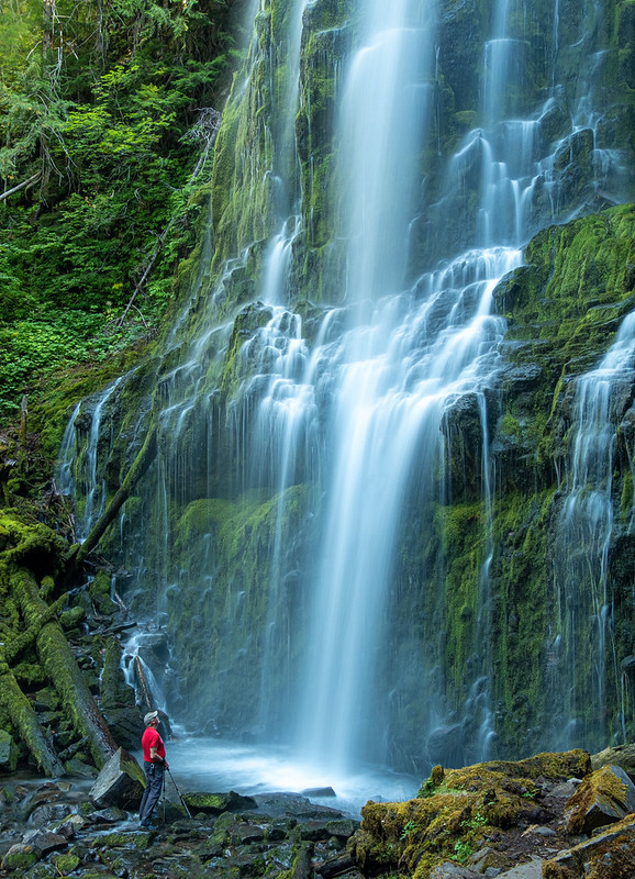
Known as the Proxy Falls Trailhead, this beautiful trail leads to a 225-foot waterfall and is said to be one of the most frequently photographed waterfalls in Oregon.
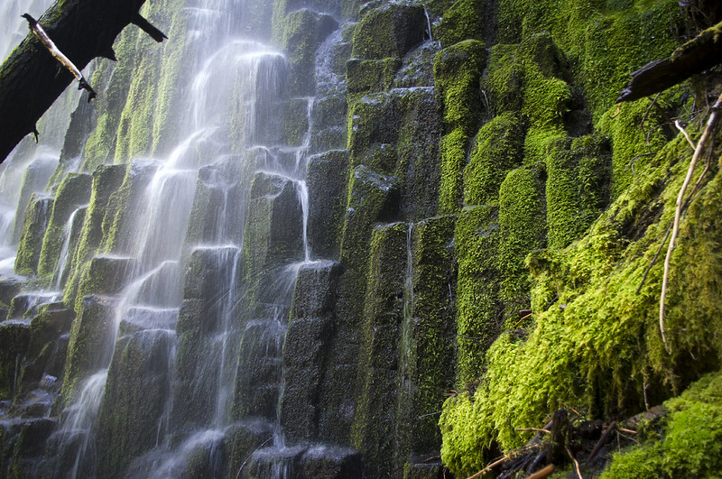
Proxy Creek is fed by springs on the shoulder of North Sister, breaking over a wall of columnar basalt liberally marinated in mosses.
You will find two stunning viewpoints which give two different perspectives of the falls. You can read more here about Proxy Falls.
Blue River Reservoir
Another beautiful place nearby is of course the Blue River Reservoir, with two main campgrounds – Lookout Campground and Mona Campground. You will also find two boat launches here, perfect for the summer at Lookout and Saddle Dam. When full, the reservoir is around 6.4 miles long and has a surface area of 1,m420 acres. During the winter, the reservoir is mostly used as storage for floodwaters in winter.
Keep in mind as noted by USDA, early fall through mid-March, the water levels on Blue River Reservoir are frequently drawn down to the point where boat launches are no longer available. Reservoir and river level information is available from the US Army Corps of Engineers here.
Dee Wright Observatory Trip
jooinn
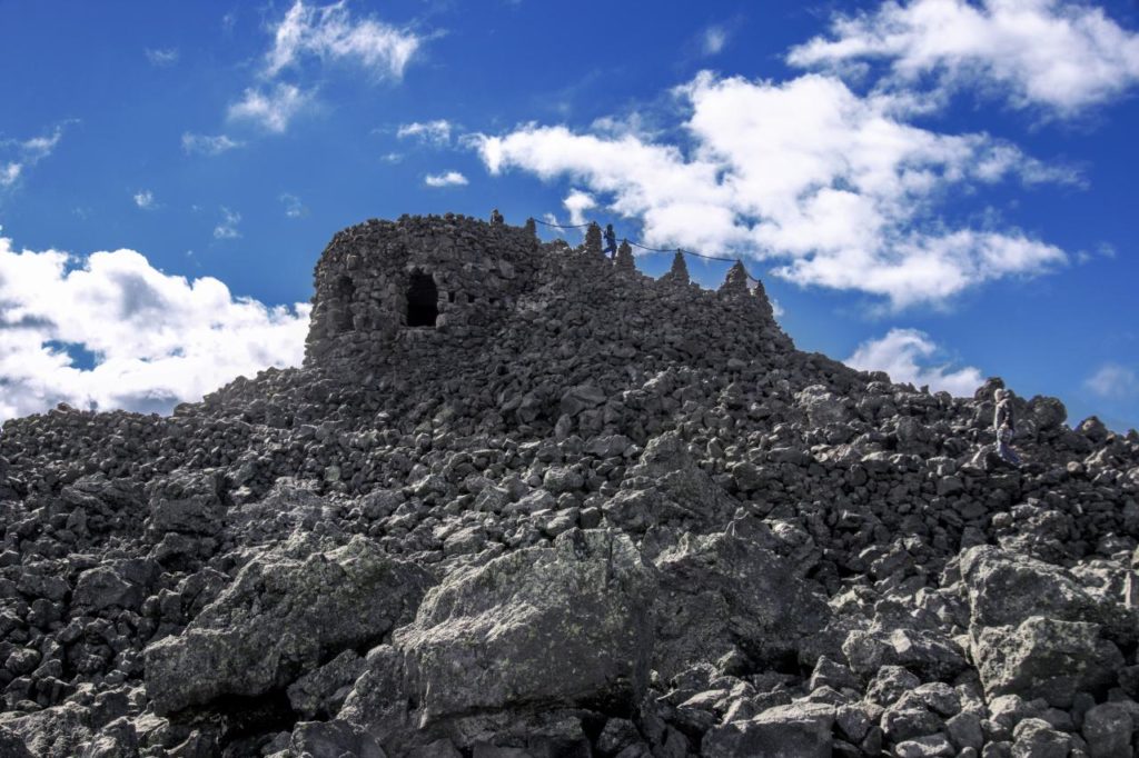
Not terribly far from the McKenzie River Trail is the scenic Dee Wright Observatory above lava fields. A truly unique spot, it'll be well worth your visit if you can make the time. The panoramic views over the lava fields alone here are incredible. Thousands view this awesome place yearly, which is located between Sisters and Belknap Springs, on the Cascade Range at 5,187 feet. Hit the link here to read more.
Know Current Conditions Before You Go

Conditions are not live in this article. Check these authoritative sources on the day you leave:
- Willamette National Forest alerts and closures
- Current Forest Service wildfire closures
- Current campground listings and reservations
- Oregon highway conditions on TripCheck
- National Weather Service forecasts
- That Oregon Life hiking guide and trail map
- That Oregon Life waterfall guide
We hope this article helped inspire you to check out this awesome trail. Make sure and see what other awesome and scenic places we have covered in Central Oregon here.
- Dee Wright Observatory
- Highway 126
- Hiking
- Hot Springs
- Mckenzie pass
- Mckenzie river
- Mckenzie River Hwy
- Mckenzie River Trail
- Bountain Biking
- Nature
- Oregon Hot Springs
- Outdoors