Updated August 2026: Rowena Plateau offers two related choices at Tom McCall Preserve above the Columbia River Gorge. The short plateau walk is about one mile, while the full Plateau Trail with the Shasha Loop is 2.6 miles round trip. Both cross sensitive wildflower habitat near unguarded cliff edges. The preserve is open March 1 through October 31 and closes during the wettest months to protect fragile soil and plants.
This is a protected preserve, not an unrestricted viewpoint. Dogs, drones, bicycles, picnicking and off-trail travel are prohibited. Use this guide with our Oregon hiking guide and our Columbia River Gorge section to choose a route that fits your day.
Rowena Plateau Trail quick facts
- Distance: About 1 mile for the short plateau walk; 2.6 miles round trip including the Shasha Loop.
- Difficulty: Easy walking, but the narrow path approaches unguarded cliff edges.
- Open season: March 1 through October 31.
- Best-known bloom: April and May; flowers can appear March through June.
- Dogs: Not allowed, including leashed pets.
- Also prohibited: Drones, bicycles, picnicking, camping, fires and collecting natural objects.
Hiking the Rowena Plateau Trail
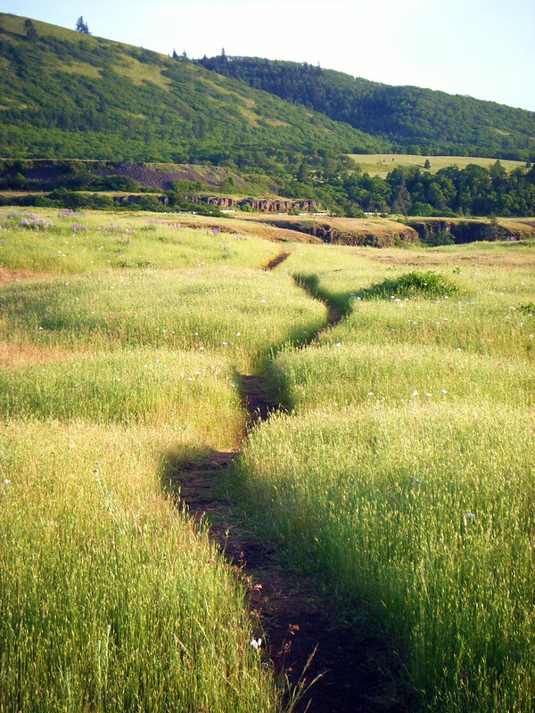
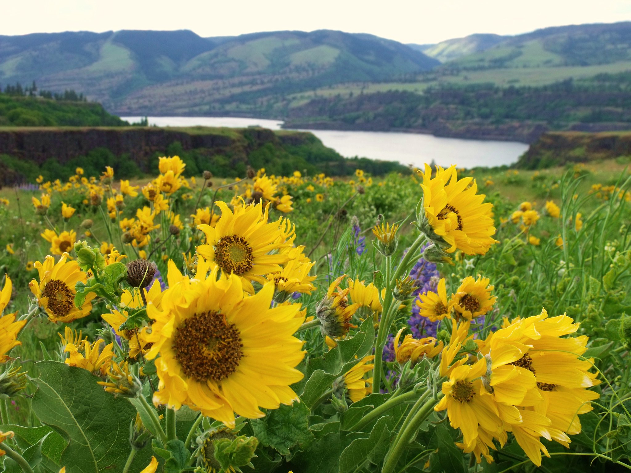
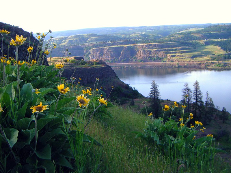
Many visitors come for the spring flowers, but the one-mile plateau route is also defined by broad river views and landforms shaped by lava, ice-age floods, volcanic ash, erosion and other long-running natural processes.
No special hiking permit is currently required, but every visitor must follow The Nature Conservancy’s preserve rules and seasonal closure. Stay on the marked trail even when the best flowers or photo angles appear only a few steps away.
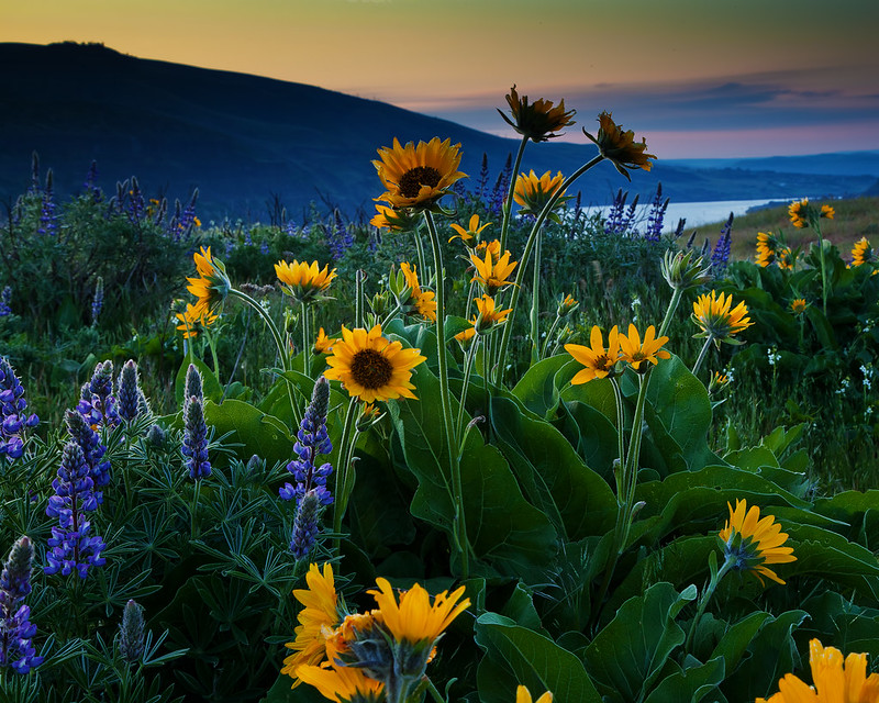
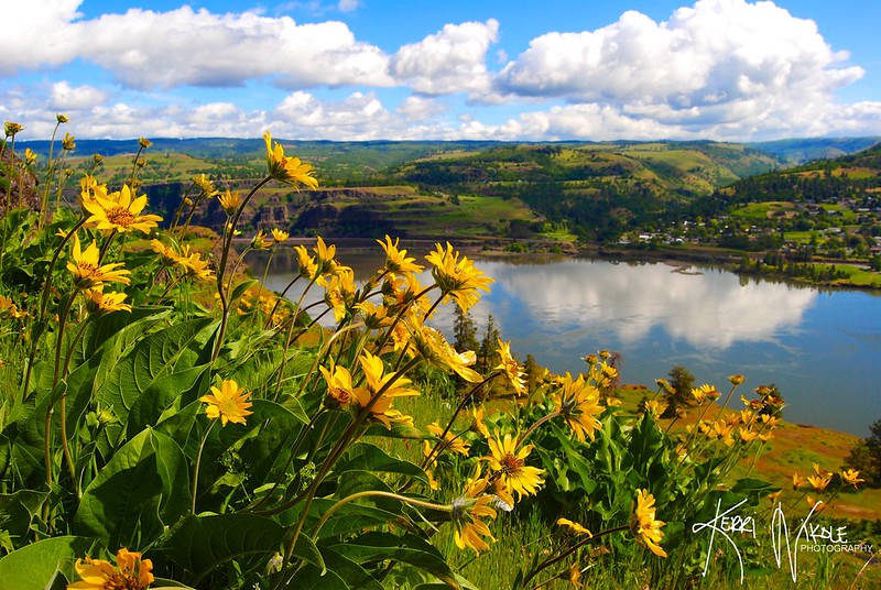
While hiking you'll follow the trail along the rim, encounter two kolk ponds (little depressions filled with water that were created during ice age floods), and finally reach the far point of the trail which has stunning views down the gorge.
On your way back down the trail towards the trailhead, veer left and head along the edge of the cliffs for more awesome views of the Columbia River.
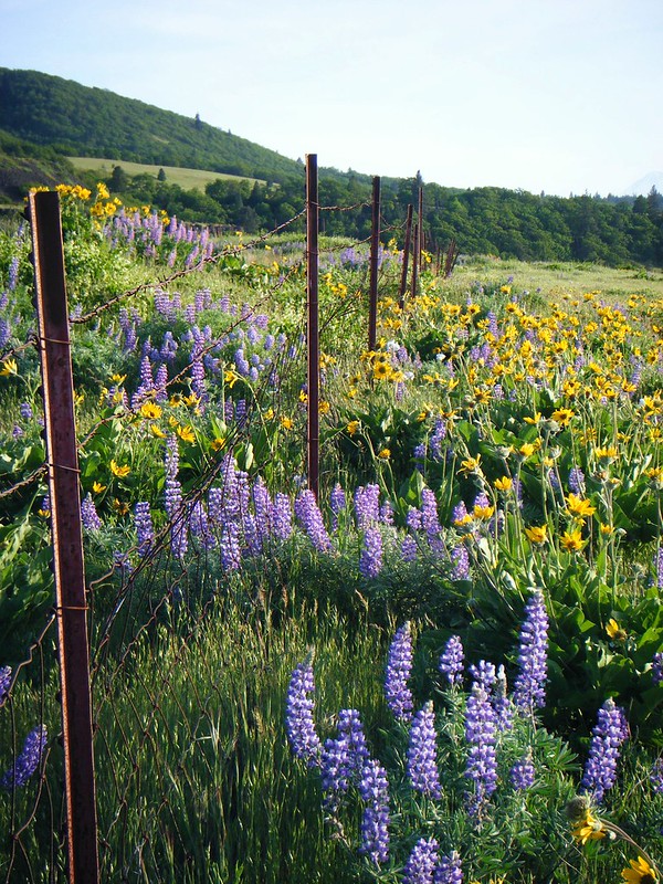
Wildflower Viewing Tip
Flowers can appear from March through June, with the most abundant displays often in April and May. Balsamroot, lupine, grass widows, shooting stars and paintbrush are among the possibilities, but bloom timing changes with weather. Stay on the path: even light foot traffic can kill delicate plants or damage research areas.
Rowena Trail Information
Finding The Trailhead For Rowena Plateau Trail
To get to the trailhead, you're going to head to the Rowena Crest Viewpoint at the Tom McCall Preserve. Take Exit 69 off of I-84 from Mosier, and then head east for 7 miles on Highway 30. Or you can take Exit 76 (the Rowena exit) and head west on Highway 30 through the Rowena Curves. We've marked the spot on a map for you to make it easy to find.
The plateau trail begins at the interpretive sign near the preserve entrance. A separate Tom McCall Point Trail starts on the south side of the turnaround. The preserve manager describes that route as two miles with about 1,000 feet of gain and limits its season to May through October. Do not treat the steep point trail as part of the easy plateau walk.
Rowena Plateau rules and safety
There are no guardrails along the plateau’s cliff edges. Wind gusts can be strong enough to affect balance, and rattlesnakes, ticks and poison oak occur in the area. Keep children close, give wildlife space and turn back during dangerous wind or lightning.
- The trail is family friendly, but you'll need to leave your furry four legged friends behind as there are no dogs allowed on the trail.
- It should also be noted that there are no restrooms available at the trailhead. The nearest public restrooms are found at lower Mayer State Park, which requires a day use pass to enter.
- There is no shade on the trail, so wear protective clothing or use sunscreen.
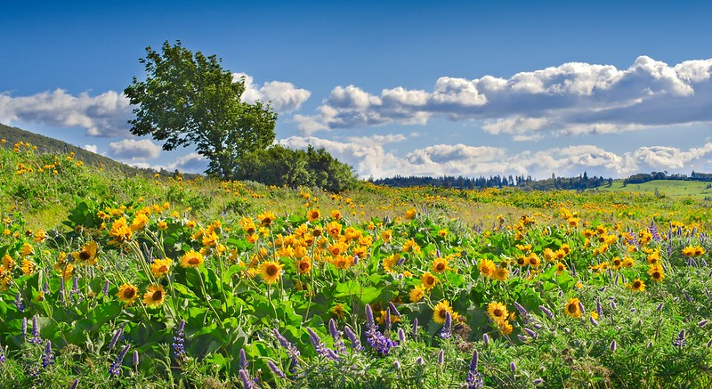
April and May can be extremely busy. Visit on a weekday or outside the middle of the day, never park outside a legal space and do not step off trail to pass or take a photo. If the preserve is crowded, choose another Gorge hike and return at a quieter time.
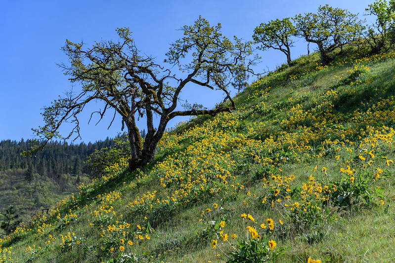
Hikers in this area should be on the lookout for Poison Oak, as well as ticks, which can carry Lyme disease. Hikers should also be ready for windy conditions (very windy), and plan their trip for a nice day when rain isn't expected.
Other nearby trails you may want to check out are the Memaloos Overlook Trailhead, and the Mosier Plateau Trail, both marked on the map above.
Follow the seven Leave No Trace principles, plus the preserve’s stricter rules. The wildflowers, ground-nesting birds, soils and research areas are fragile; remain on the developed trail at all times.
Find more trip options in our Oregon hiking guide and trail map.